Transport Functions
Port
Road
Airport
Hub Profile
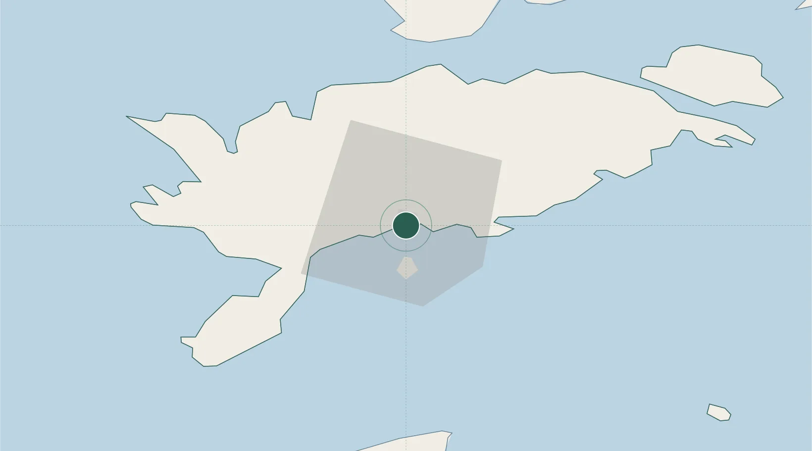
Place type
Regional capital
Region
Saare
Population
12,698
Time zone
Europe/Tallinn
Elevation
3 m
Location
Nearby Logistics Neighbours
Cities
- 1Kuressaare sadam2 km
- 2Tori Jõesadam2 km
- 3Roomassaare4 km
- 4Muratsi Sadam5 km
- 5Nasva7 km
Ports
- 1Roomassaare4 km
- 2Saaremaa sadam35 km
- 3Virtsu69 km
- 4Heltermaa76 km
- 5Rohukula91 km
Airports
- 1Kuressaare Airport2 km
- 2Ruhnu Airfield68 km
- 3Kärdla Airport85 km
- 4Pärnu Airport117 km
- 5Ämari Air Base149 km
Trade Zones
- 1Free port of Ventspils111 km
- 2Paldiski Free Zone151 km
- 3Free Port of Riga172 km
- 4Freeport of Hanko177 km
- 5Muuga Free Zone186 km
DatabookThe Record of Consolidated Knowledge
Estonia beyond logistics?