UN/LOCODE hub · Estonia
EETJS

Tori Jõesadam

58.2500°, 22.4667°
1
Transport functions

Transport Functions

Port
UN/LOCODE

Hub Profile

Region
74
GeoNames

Location

Location of EETJS
Natural Earth 10m (public domain) · 74 · EETJS · 58.25, 22.47GoogleOSMYandex

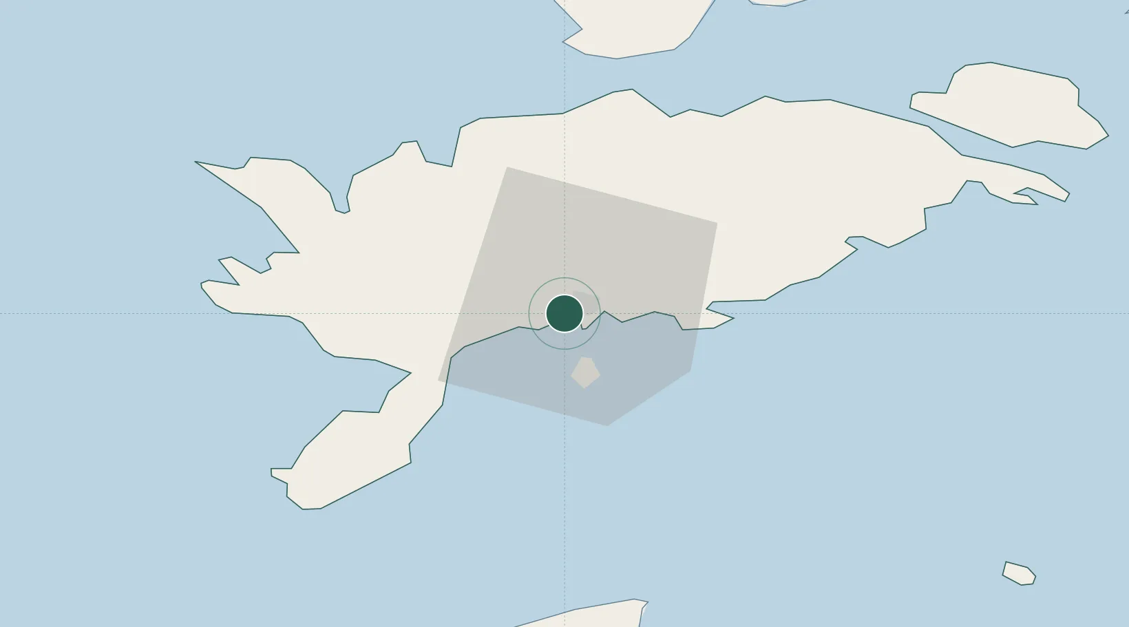
Nearby Logistics Neighbours

Cities
  1. 1Kuressaare sadam0 km
  2. 2Kuressaare2 km
  3. 3Roomassaare4 km
  4. 4Nasva Jõesadam5 km
  5. 5Nasva5 km
Nearest neighbours — logibook spatial index (haversine) over the source coordinates
Ports
  1. 1Roomassaare5 km
  2. 2Saaremaa sadam35 km
  3. 3Virtsu71 km
  4. 4Heltermaa76 km
  5. 5Rohukula92 km
Nearest neighbours — logibook spatial index (haversine) over the source coordinates
Airports
  1. 1Kuressaare Airport3 km
  2. 2Ruhnu Airfield70 km
  3. 3Kärdla Airport85 km
  4. 4Pärnu Airport119 km
  5. 5Ämari Air Base151 km
Nearest neighbours — logibook spatial index (haversine) over the source coordinates
Trade Zones
  1. 1Free port of Ventspils110 km
  2. 2Paldiski Free Zone152 km
  3. 3Free Port of Riga174 km
  4. 4Freeport of Hanko177 km
  5. 5Muuga Free Zone187 km
Nearest neighbours — logibook spatial index (haversine) over the source coordinates
DatabookThe Record of Consolidated Knowledge
Estonia beyond logistics?
Browse databook

All Sources

LocationsUN/LOCODE
UN/LOCODE — free
Portsthe NGA World Port Index
Public domain (US gov)
AirportsOurAirports
Public domain
Trade Zonesthe World Bank SEZ database
CC BY 4.0
Trade ZonesOpen Zone Map
CC BY
← Estonia locations