UN/LOCODE hub · Estonia
EEMUR

Muratsi Sadam

58.2333°, 22.5833°
1
Transport functions

Transport Functions

Port
UN/LOCODE

Hub Profile

Region
74
GeoNames

Location

Location of EEMUR
Natural Earth 10m (public domain) · 74 · EEMUR · 58.23, 22.58GoogleOSMYandex

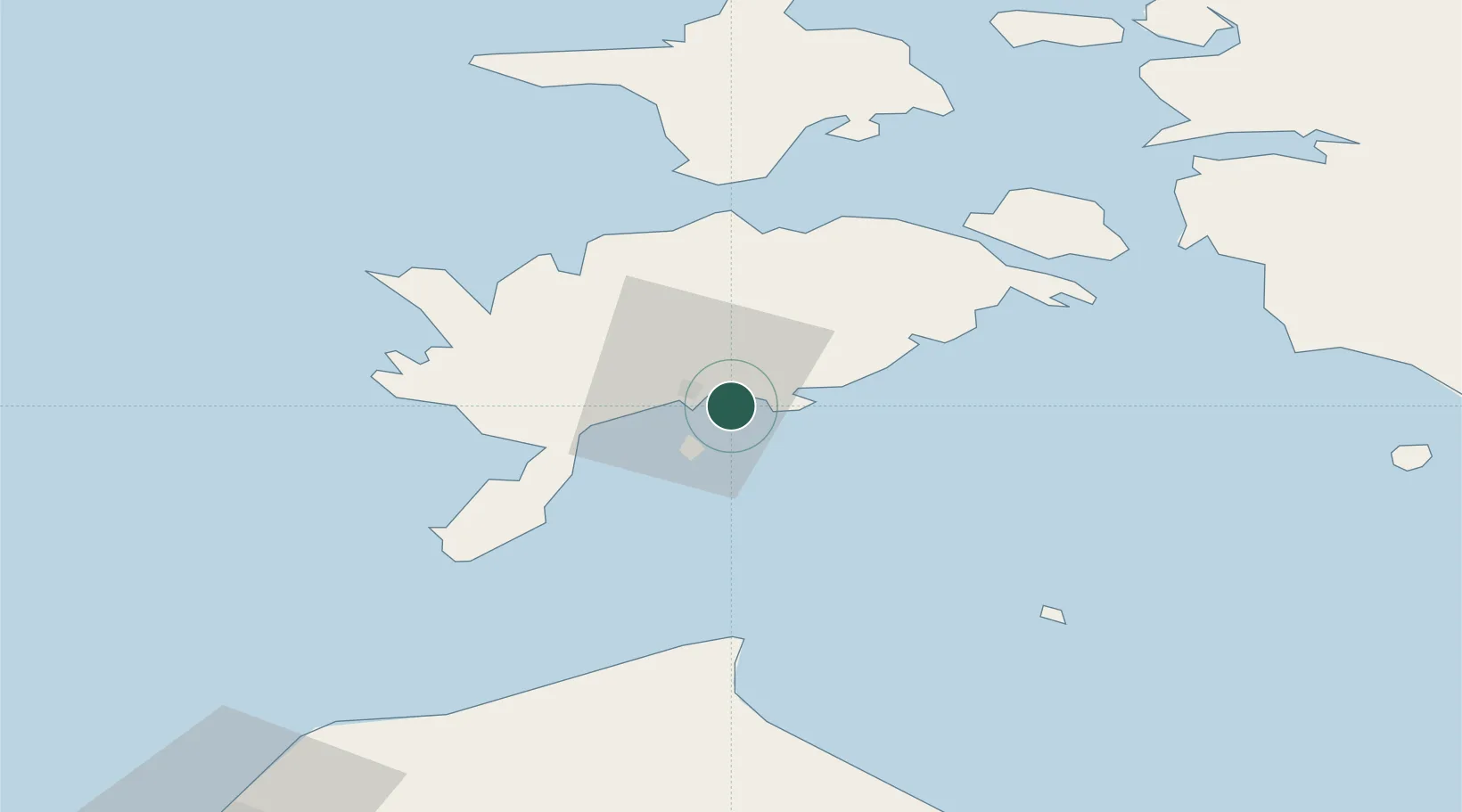
Nearby Logistics Neighbours

Cities
  1. 1Kuressaare5 km
  2. 2Roomassaare5 km
  3. 3Kuressaare sadam7 km
  4. 4Tori Jõesadam7 km
  5. 5Abruka8 km
Nearest neighbours — logibook spatial index (haversine) over the source coordinates
Ports
  1. 1Roomassaare5 km
  2. 2Saaremaa sadam39 km
  3. 3Virtsu66 km
  4. 4Heltermaa75 km
  5. 5Rohukula89 km
Nearest neighbours — logibook spatial index (haversine) over the source coordinates
Airports
  1. 1Kuressaare Airport4 km
  2. 2Ruhnu Airfield64 km
  3. 3Kärdla Airport85 km
  4. 4Pärnu Airport112 km
  5. 5Ämari Air Base148 km
Nearest neighbours — logibook spatial index (haversine) over the source coordinates
Trade Zones
  1. 1Free port of Ventspils112 km
  2. 2Paldiski Free Zone150 km
  3. 3Free Port of Riga168 km
  4. 4Freeport of Hanko178 km
  5. 5Muuga Free Zone183 km
Nearest neighbours — logibook spatial index (haversine) over the source coordinates
DatabookThe Record of Consolidated Knowledge
Estonia beyond logistics?
Browse databook

All Sources

LocationsUN/LOCODE
UN/LOCODE — free
Portsthe NGA World Port Index
Public domain (US gov)
AirportsOurAirports
Public domain
Trade Zonesthe World Bank SEZ database
CC BY 4.0
Trade ZonesOpen Zone Map
CC BY
← Estonia locations