UN/LOCODE hub · Estonia
EERLB

Rälby Sadam

59.0333°, 23.2833°
1
Transport functions

Transport Functions

Port
UN/LOCODE

Hub Profile

Region
56
GeoNames

Location

Location of EERLB
Natural Earth 10m (public domain) · 56 · EERLB · 59.03, 23.28GoogleOSMYandex

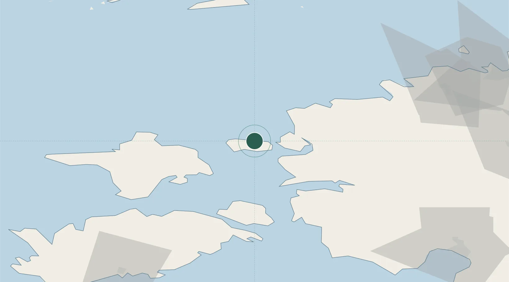
Nearby Logistics Neighbours

Cities
  1. 1Sviby8 km
  2. 2Paslepa-Viigi Sadam9 km
  3. 3Österby15 km
  4. 4Westmeri15 km
  5. 5Hara Sadam15 km
Nearest neighbours — logibook spatial index (haversine) over the source coordinates
Ports
  1. 1Rohukula16 km
  2. 2Heltermaa23 km
  3. 3Osmussaar30 km
  4. 4Virtsu53 km
  5. 5Paldiski Pohjasadam56 km
Nearest neighbours — logibook spatial index (haversine) over the source coordinates
Airports
  1. 1Kärdla Airport26 km
  2. 2Ämari Air Base58 km
  3. 3Tallinn Linnahall Heliport96 km
  4. 4Pärnu Airport97 km
  5. 5Lennart Meri Tallinn Airport98 km
Nearest neighbours — logibook spatial index (haversine) over the source coordinates
Trade Zones
  1. 1Paldiski Free Zone56 km
  2. 2Freeport of Hanko91 km
  3. 3Muuga Free Zone103 km
  4. 4Turku Free Zone168 km
  5. 5Free port of Ventspils209 km
Nearest neighbours — logibook spatial index (haversine) over the source coordinates
DatabookThe Record of Consolidated Knowledge
Estonia beyond logistics?
Browse databook

All Sources

LocationsUN/LOCODE
UN/LOCODE — free
Portsthe NGA World Port Index
Public domain (US gov)
AirportsOurAirports
Public domain
Trade Zonesthe World Bank SEZ database
CC BY 4.0
Trade ZonesOpen Zone Map
CC BY
← Estonia locations