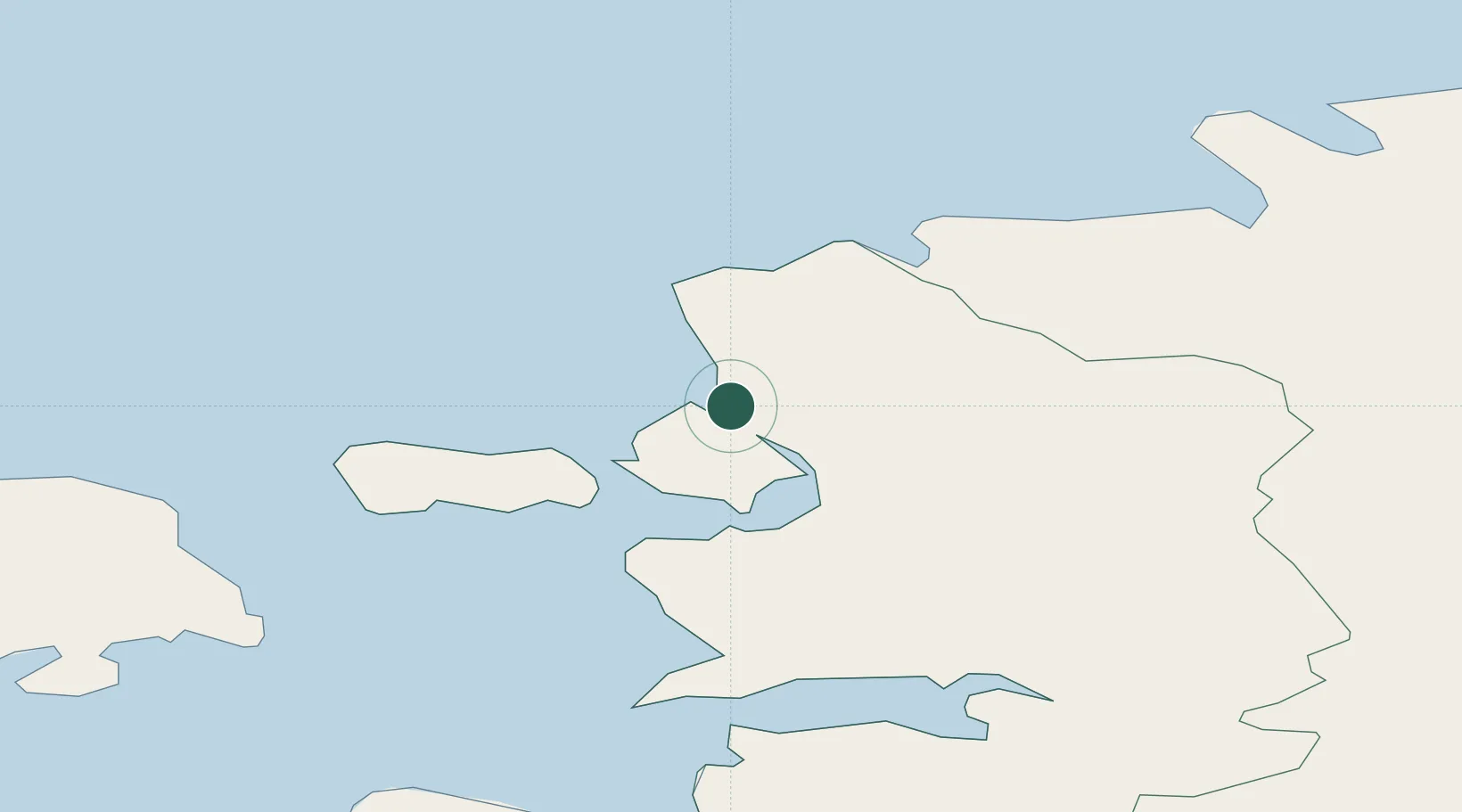
UN/LOCODE hub · Estonia
EEHRA

Hara Sadam

59.0833°, 23.5333°
1
Transport functions

Transport Functions

Port
UN/LOCODE

Hub Profile

Region
56
GeoNames

Location

Location of EEHRA
Natural Earth 10m (public domain) · 56 · EEHRA · 59.08, 23.53GoogleOSMYandex

Nearby Logistics Neighbours

Cities
  1. 1Paslepa-Viigi Sadam9 km
  2. 2Österby11 km
  3. 3Haapsalu Veskiviigi13 km
  4. 4Suur-Holmi13 km
  5. 5Westmeri Jahisadam13 km
Nearest neighbours — logibook spatial index (haversine) over the source coordinates
Ports
  1. 1Rohukula21 km
  2. 2Osmussaar26 km
  3. 3Heltermaa37 km
  4. 4Paldiski Pohjasadam42 km
  5. 5Paldiski Lounasadam42 km
Nearest neighbours — logibook spatial index (haversine) over the source coordinates
Airports
  1. 1Kärdla Airport42 km
  2. 2Ämari Air Base43 km
  3. 3Tallinn Linnahall Heliport80 km
  4. 4Lennart Meri Tallinn Airport83 km
  5. 5Pärnu Airport92 km
Nearest neighbours — logibook spatial index (haversine) over the source coordinates
Trade Zones
  1. 1Paldiski Free Zone42 km
  2. 2Muuga Free Zone87 km
  3. 3Freeport of Hanko91 km
  4. 4Turku Free Zone168 km
  5. 5Free port of Ventspils221 km
Nearest neighbours — logibook spatial index (haversine) over the source coordinates
DatabookThe Record of Consolidated Knowledge
Estonia beyond logistics?
Browse databook

All Sources

LocationsUN/LOCODE
UN/LOCODE — free
Portsthe NGA World Port Index
Public domain (US gov)
AirportsOurAirports
Public domain
Trade Zonesthe World Bank SEZ database
CC BY 4.0
Trade ZonesOpen Zone Map
CC BY
← Estonia locations