UN/LOCODE hub · Estonia
EEKJK

Kalevi Jahtklubi

59.4667°, 24.8333°
1
Transport functions

Transport Functions

Port
UN/LOCODE

Hub Profile

Region
37
GeoNames

Location

Location of EEKJK
Natural Earth 10m (public domain) · 37 · EEKJK · 59.47, 24.83GoogleOSMYandex

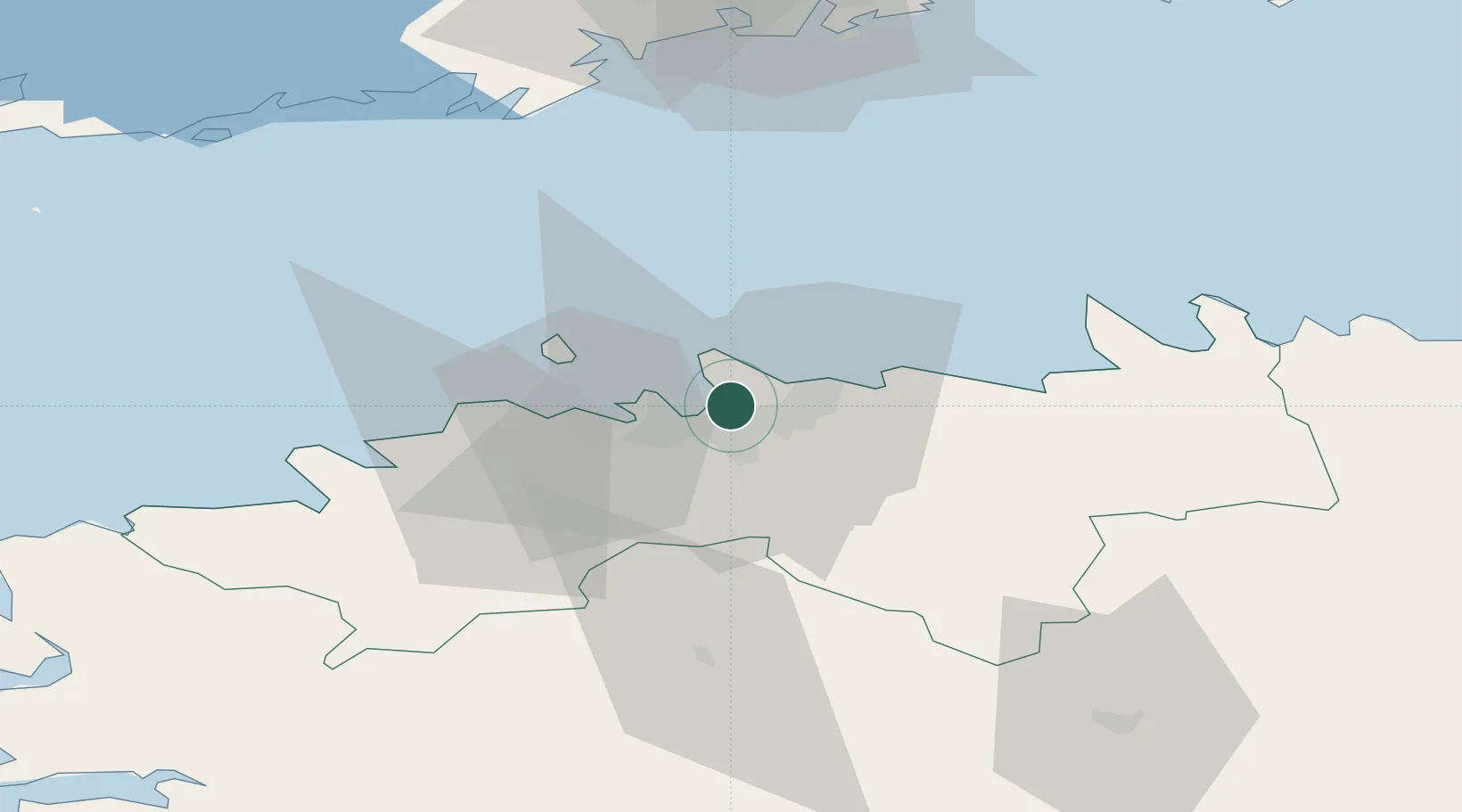
Nearby Logistics Neighbours

Cities
  1. 1Pirita1 km
  2. 2Miiduranna4 km
  3. 3Vanasadam4 km
  4. 4Kalasadam5 km
  5. 5Patareisadam5 km
Nearest neighbours — logibook spatial index (haversine) over the source coordinates
Ports
  1. 1Miiduranna4 km
  2. 2Vanasadam - Port of Tallinn4 km
  3. 3Paljassaare7 km
  4. 4Lahesuu7 km
  5. 5Muuga-Port of Tallin8 km
Nearest neighbours — logibook spatial index (haversine) over the source coordinates
Airports
  1. 1Tallinn Linnahall Heliport5 km
  2. 2Lennart Meri Tallinn Airport6 km
  3. 3Ämari Air Base42 km
  4. 4Helsinki Vantaa Airport95 km
  5. 5Pärnu Airport118 km
Nearest neighbours — logibook spatial index (haversine) over the source coordinates
Trade Zones
  1. 1Muuga Free Zone22 km
  2. 2Paldiski Free Zone45 km
  3. 3Freeport of Hanko117 km
  4. 4Port of Hamina-Kotka162 km
  5. 5Port of Sillamäe163 km
Nearest neighbours — logibook spatial index (haversine) over the source coordinates
DatabookThe Record of Consolidated Knowledge
Estonia beyond logistics?
Browse databook

All Sources

LocationsUN/LOCODE
UN/LOCODE — free
Portsthe NGA World Port Index
Public domain (US gov)
AirportsOurAirports
Public domain
Trade Zonesthe World Bank SEZ database
CC BY 4.0
Trade ZonesOpen Zone Map
CC BY
← Estonia locations