Transport Functions
Port
Hub Profile
Region
56
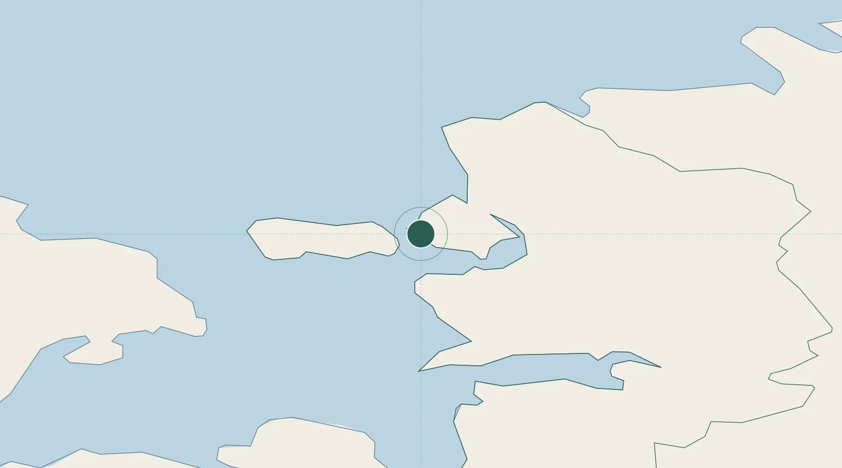
Location
Nearby Logistics Neighbours
Cities
- 1Österby6 km
- 2Westmeri7 km
- 3Haapsalu Veskiviigi8 km
- 4Suur-Holmi8 km
- 5Westmeri Jahisadam8 km
Ports
- 1Rohukula12 km
- 2Heltermaa28 km
- 3Osmussaar32 km
- 4Virtsu49 km
- 5Paldiski Pohjasadam51 km
Airports
- 1Kärdla Airport35 km
- 2Ämari Air Base52 km
- 3Tallinn Linnahall Heliport89 km
- 4Pärnu Airport90 km
- 5Lennart Meri Tallinn Airport91 km
Trade Zones
- 1Paldiski Free Zone51 km
- 2Muuga Free Zone95 km
- 3Freeport of Hanko96 km
- 4Turku Free Zone173 km
- 5Free port of Ventspils212 km
DatabookThe Record of Consolidated Knowledge
Estonia beyond logistics?