Medium airport · Ecuador
Mariscal Lamar AirportSECU
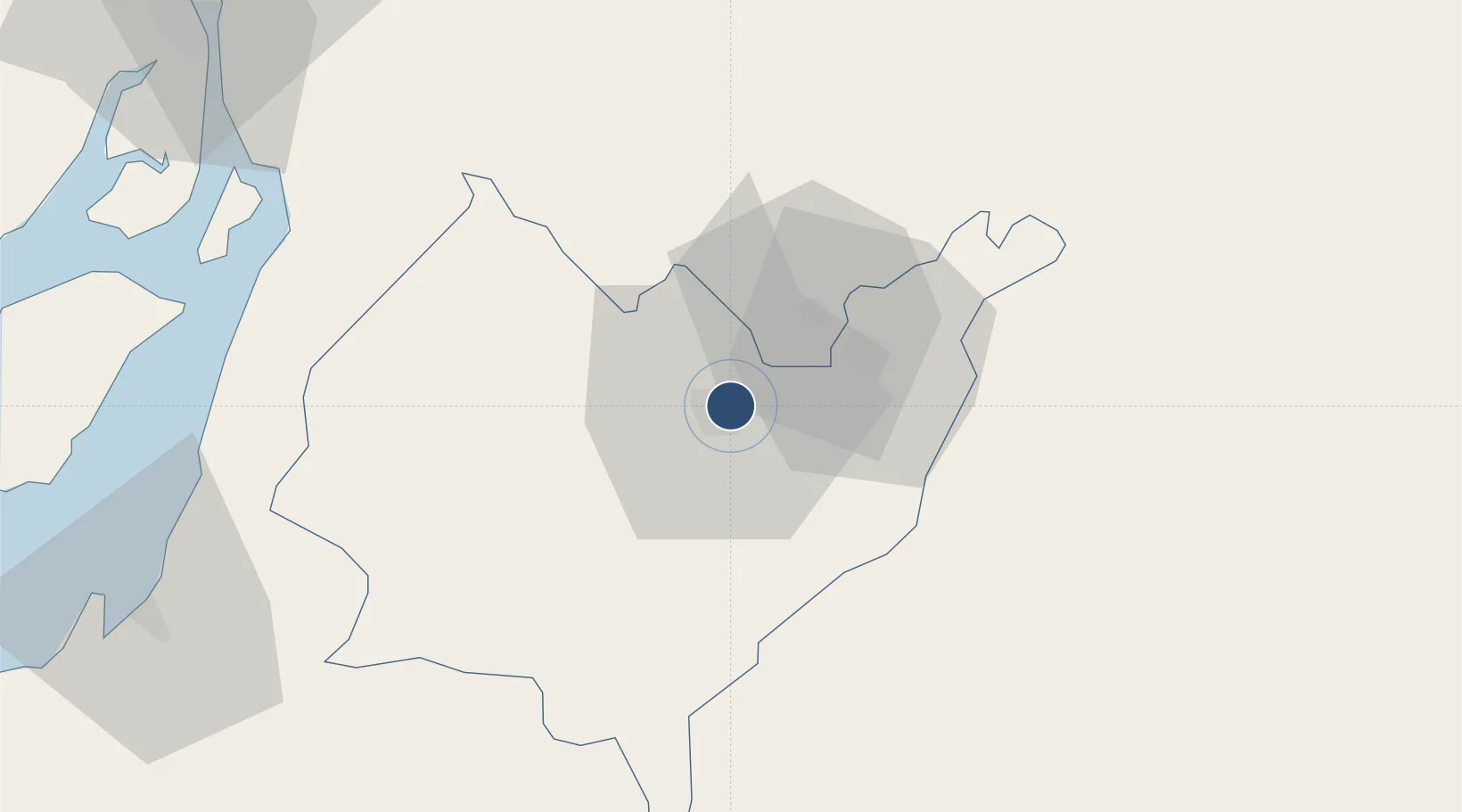
-2.8895°, -78.9844°
6,234 ft
Longest runway
1
Runways
8,306 ft
Elevation
Runway & Layout

Radio Frequencies
GND
121.9 MHz
APP
122.3 MHz
APP/TWR
RDO
126.9 MHz
CUENCA RDO
Navaids
CUR NDB Cuenca 221 kHz
CUV VOR-DME Cuenca 114.50 MHz
Runways · 1
| Runway | Dimensions | Surface | True heading | Lit |
|---|---|---|---|---|
| 06/24 | 6,234 × 118ft | Asphalt | 052° | ✓ |
Airport Specifications
IATA code
CUE
ICAO code
SECU
Airport class
Medium airport
Scheduled service
Yes
Runway surface
Asphalt
Served city
Cuenca
Location
Nearby Logistics Neighbours
Airports
Cities
- 1Paute29 km
- 2Bucay79 km
- 3El Guabo86 km
- 4Naranjito93 km
- 5Puerto Balao Grande94 km
Ports
- 1Puerto Bolivar120 km
- 2Puerto Maritimo De Guayaquil122 km
- 3Guayaquil126 km
- 4La Libertad227 km
- 5Manta289 km
Trade Zones
- 1Zona Franca del Oro112 km
- 2Contecon Guayaquil Free Zone123 km
- 3Zona Franca Esmeraldas132 km
- 4Posorja ZofraPort SA Free Zone142 km
- 5DP World Posorja142 km
DatabookThe Record of Consolidated Knowledge
Ecuador beyond logistics?