UN/LOCODE hub · Algeria
DZBJA
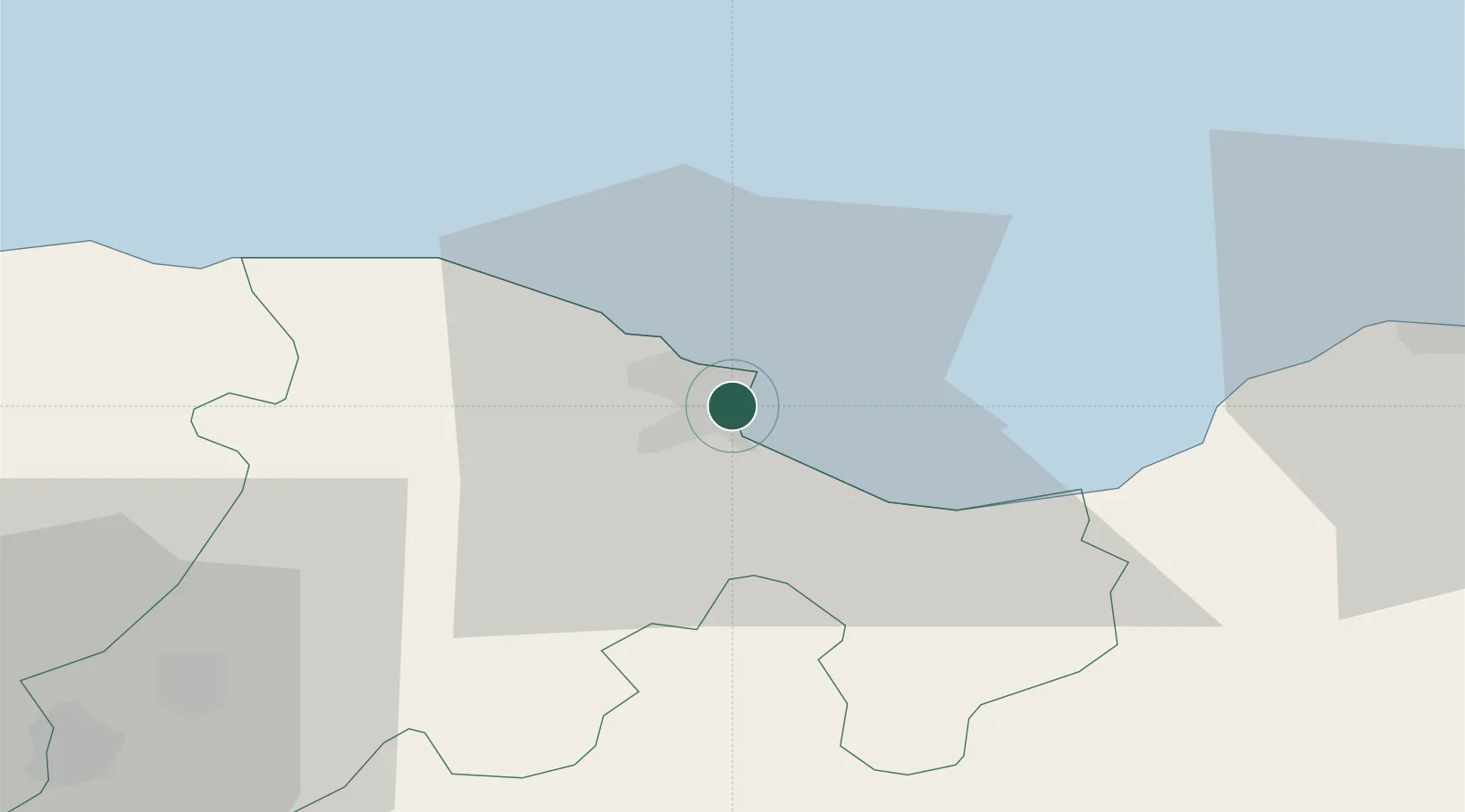
Bejaia (ex Bougie)
36.7469°, 5.0804°
2
Transport functions
1
Container terminals
Transport Functions
Port
Airport
Hub Profile
Logistics facilities
6
Container terminals
1
Location
Nearby Logistics Neighbours
Cities
- 1Kherrata34 km
- 2Sétif69 km
- 3Djen-Djen72 km
- 4Bordj Bou Arreridj81 km
- 5Guellal83 km
Airports
Trade Zones
DatabookThe Record of Consolidated Knowledge
Algeria beyond logistics?