UN/LOCODE hub · Germany
DEHBZ

Hasselberg

54.7167°, 9.9833°
2
Transport functions

Transport Functions

Road
Multimodal
UN/LOCODE

Hub Profile

Place type
Local administrative seat
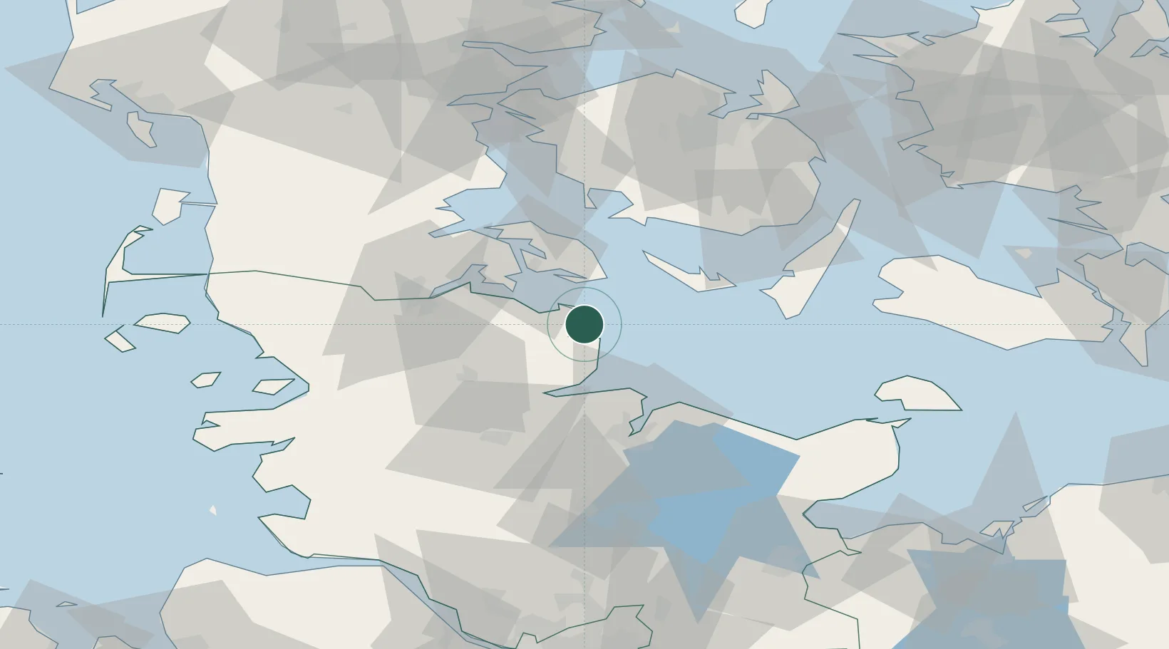
GeoNames
Region
Schleswig-Holstein
GeoNames
Time zone
Europe/Berlin
GeoNames
Elevation
-2 m
GeoNames

Location

Location of DEHBZ
Natural Earth 10m (public domain) · Schleswig-Holstein · DEHBZ · 54.72, 9.98GoogleOSMYandex

Nearby Logistics Neighbours

Cities
  1. 1Sydals21 km
  2. 2Sønderborg24 km
  3. 3Langballig24 km
  4. 4Fynshav28 km
  5. 5Hallig29 km
Nearest neighbours — logibook spatial index (haversine) over the source coordinates
Ports
  1. 1Kappeln6 km
  2. 2Sonderborg26 km
  3. 3Augustenborg27 km
  4. 4Eckernforde28 km
  5. 5Marstal32 km
Nearest neighbours — logibook spatial index (haversine) over the source coordinates
Airports
  1. 1Sønderborg Airport30 km
  2. 2Ærø Airfield34 km
  3. 3Kiel-Holtenau Airport39 km
  4. 4Schleswig Air Base42 km
  5. 5Sydfyn (Tasinge) Airfield50 km
Nearest neighbours — logibook spatial index (haversine) over the source coordinates
Trade Zones
  1. 1Freeport of Kiel44 km
  2. 2Freeport of Cuxhaven (Freihafen Cuxhaven)135 km
  3. 3Freeport of Bremerhaven (Freihafen Bremerhaven)197 km
  4. 4Freeport of Copenhagen- Nordhavn200 km
  5. 5MTS Malmö Transport and Spedition221 km
Nearest neighbours — logibook spatial index (haversine) over the source coordinates
DatabookThe Record of Consolidated Knowledge
Germany beyond logistics?
Browse databook

All Sources

LocationsUN/LOCODE
UN/LOCODE — free
Portsthe NGA World Port Index
Public domain (US gov)
AirportsOurAirports
Public domain
Trade Zonesthe World Bank SEZ database
CC BY 4.0
Trade ZonesOpen Zone Map
CC BY
← Germany locations