UN/LOCODE hub · Germany
DEZSF

Zühlsdorf (Zuehlsdorf)

52.7333°, 13.4000°
2
Transport functions

Transport Functions

Road
Multimodal
UN/LOCODE

Hub Profile

Region
BB
GeoNames

Location

Location of DEZSF
Natural Earth 10m (public domain) · BB · DEZSF · 52.73, 13.40GoogleOSMYandex

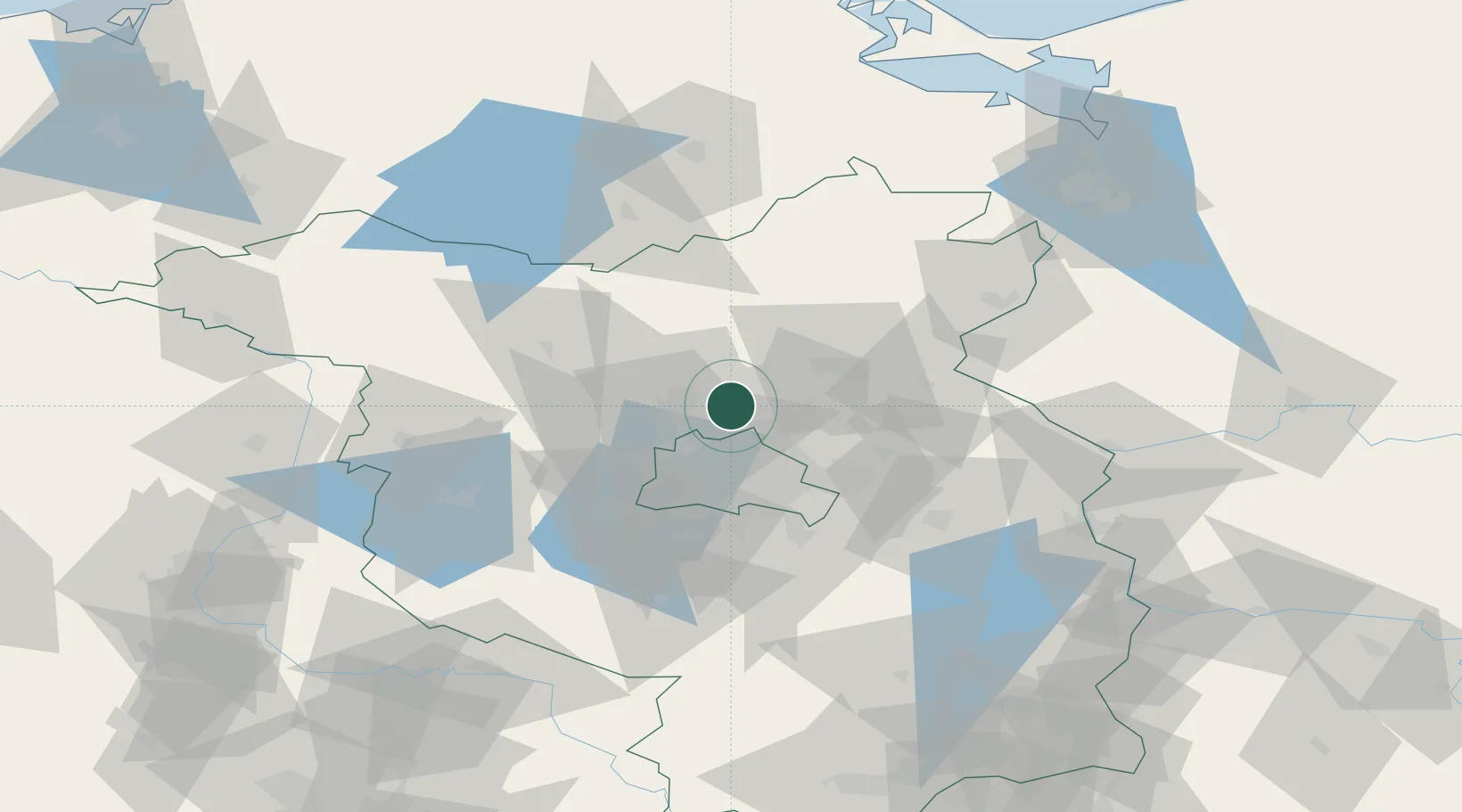
Nearby Logistics Neighbours

Cities
  1. 1Mühlenbeck8 km
  2. 2Glienicke13 km
  3. 3Blankenfelde13 km
  4. 4Bernau14 km
  5. 5Liebenwalde15 km
Nearest neighbours — logibook spatial index (haversine) over the source coordinates
Ports
  1. 1Szczecin108 km
  2. 2Police121 km
  3. 3Swinoujscie144 km
  4. 4Wolgast149 km
  5. 5Rostock174 km
Nearest neighbours — logibook spatial index (haversine) over the source coordinates
Airports
  1. 1Berlin Brandenburg Airport42 km
  2. 2Neubrandenburg Trollenhagen Airport97 km
  3. 3Holzdorf Air Base109 km
  4. 4Zerbst Airfield118 km
  5. 5Heringsdorf Airport137 km
Nearest neighbours — logibook spatial index (haversine) over the source coordinates
Trade Zones
  1. 1Kostrzyń-Słubice SEZ85 km
  2. 2Szczecin Duty Free Zone109 km
  3. 3Swinoujscie Duty Free Zone142 km
  4. 4Legnica SEZ (Legnicka SSE)237 km
  5. 5Most - Joseph Industrial Zone251 km
Nearest neighbours — logibook spatial index (haversine) over the source coordinates
DatabookThe Record of Consolidated Knowledge
Germany beyond logistics?
Browse databook

All Sources

LocationsUN/LOCODE
UN/LOCODE — free
Portsthe NGA World Port Index
Public domain (US gov)
AirportsOurAirports
Public domain
Trade Zonesthe World Bank SEZ database
CC BY 4.0
Trade ZonesOpen Zone Map
CC BY
← Germany locations