Transport Functions
Rail
Road
Hub Profile
Place type
Populated place
Region
Bavaria
Time zone
Europe/Berlin
Elevation
462 m
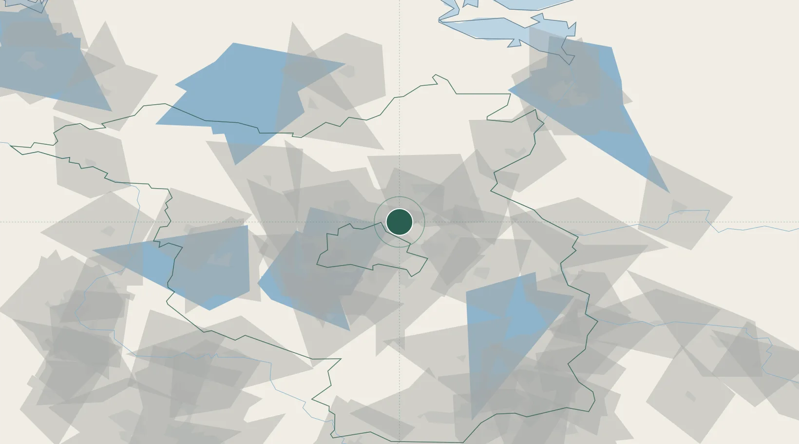
Location
Nearby Logistics Neighbours
Cities
- 1Panketal4 km
- 2Willmersdorf7 km
- 3Ahrensfelde9 km
- 4Biesenthal12 km
- 5Zühlsdorf (Zuehlsdorf)14 km
Ports
- 1Szczecin106 km
- 2Police120 km
- 3Swinoujscie146 km
- 4Wolgast154 km
- 5Rostock186 km
Airports
- 1Berlin Brandenburg Airport34 km
- 2Holzdorf Air Base104 km
- 3Neubrandenburg Trollenhagen Airport106 km
- 4Zerbst Airfield122 km
- 5Solidarity Szczecin–Goleniów Airport135 km
Trade Zones
- 1Kostrzyń-Słubice SEZ72 km
- 2Szczecin Duty Free Zone107 km
- 3Swinoujscie Duty Free Zone144 km
- 4Legnica SEZ (Legnicka SSE)223 km
- 5Most - Joseph Industrial Zone243 km
DatabookThe Record of Consolidated Knowledge
Germany beyond logistics?