Transport Functions
Rail
Road
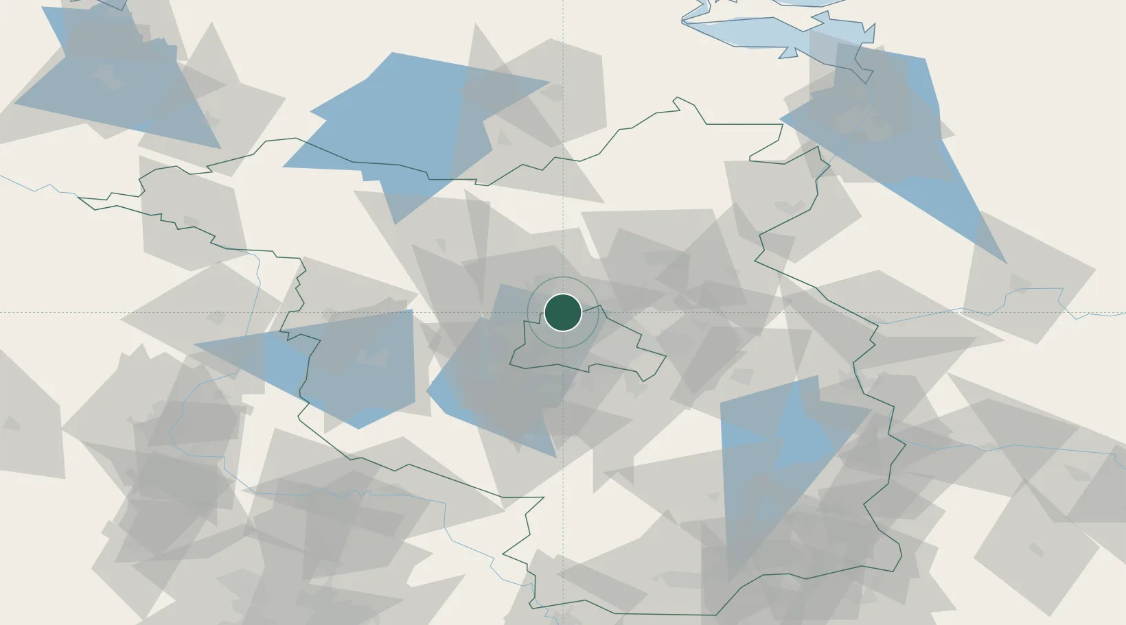
Hub Profile
Place type
Populated place
Region
Brandenburg
Population
9,144
Time zone
Europe/Berlin
Elevation
53 m
Location
Nearby Logistics Neighbours
Cities
- 1Blankenfelde5 km
- 2Mühlenbeck5 km
- 3Hennigsdorf7 km
- 4Spandau/Berlin12 km
- 5Zühlsdorf (Zuehlsdorf)13 km
Ports
- 1Szczecin120 km
- 2Police133 km
- 3Swinoujscie156 km
- 4Wolgast161 km
- 5Rostock181 km
Airports
- 1Berlin Brandenburg Airport33 km
- 2Holzdorf Air Base97 km
- 3Zerbst Airfield106 km
- 4Neubrandenburg Trollenhagen Airport108 km
- 5Heringsdorf Airport149 km
Trade Zones
- 1Kostrzyń-Słubice SEZ89 km
- 2Szczecin Duty Free Zone121 km
- 3Swinoujscie Duty Free Zone154 km
- 4Legnica SEZ (Legnicka SSE)234 km
- 5Most - Joseph Industrial Zone240 km
DatabookThe Record of Consolidated Knowledge
Germany beyond logistics?