Transport Functions
Rail
Road
Multimodal
Hub Profile
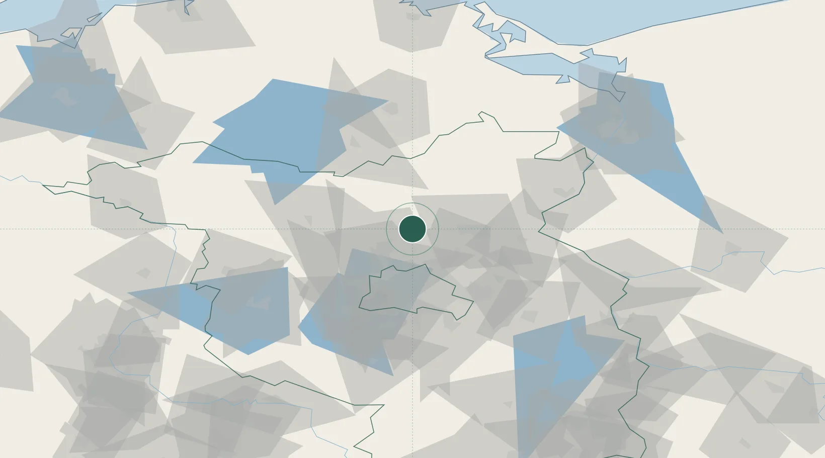
Place type
Populated place
Region
Brandenburg
Population
4,649
Time zone
Europe/Berlin
Elevation
43 m
Location
Nearby Logistics Neighbours
Cities
- 1Zehdenick12 km
- 2Zehdenick14 km
- 3Zühlsdorf (Zuehlsdorf)15 km
- 4Biesenthal19 km
- 5Ribbeck21 km
Ports
- 1Szczecin98 km
- 2Police110 km
- 3Swinoujscie130 km
- 4Wolgast134 km
- 5Rostock161 km
Airports
Trade Zones
- 1Kostrzyń-Słubice SEZ89 km
- 2Szczecin Duty Free Zone100 km
- 3Swinoujscie Duty Free Zone128 km
- 4Legnica SEZ (Legnicka SSE)247 km
- 5Most - Joseph Industrial Zone265 km
DatabookThe Record of Consolidated Knowledge
Germany beyond logistics?