Transport Functions
Rail
Road
Hub Profile
Place type
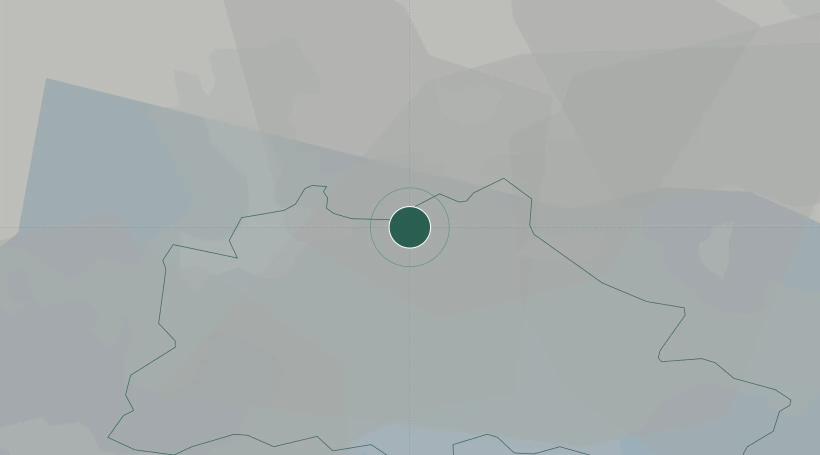
Urban district
Region
State of Berlin
Population
1,885
Time zone
Europe/Berlin
Elevation
53 m
Location
Nearby Logistics Neighbours
Cities
- 1Glienicke5 km
- 2Mühlenbeck6 km
- 3Hennigsdorf11 km
- 4Panketal11 km
- 5Zühlsdorf (Zuehlsdorf)13 km
Ports
- 1Szczecin118 km
- 2Police132 km
- 3Swinoujscie156 km
- 4Wolgast162 km
- 5Rostock185 km
Airports
- 1Berlin Brandenburg Airport30 km
- 2Holzdorf Air Base96 km
- 3Zerbst Airfield108 km
- 4Neubrandenburg Trollenhagen Airport110 km
- 5Solidarity Szczecin–Goleniów Airport148 km
Trade Zones
- 1Kostrzyń-Słubice SEZ85 km
- 2Szczecin Duty Free Zone120 km
- 3Swinoujscie Duty Free Zone154 km
- 4Legnica SEZ (Legnicka SSE)229 km
- 5Most - Joseph Industrial Zone238 km
DatabookThe Record of Consolidated Knowledge
Germany beyond logistics?