Transport Functions
Multimodal
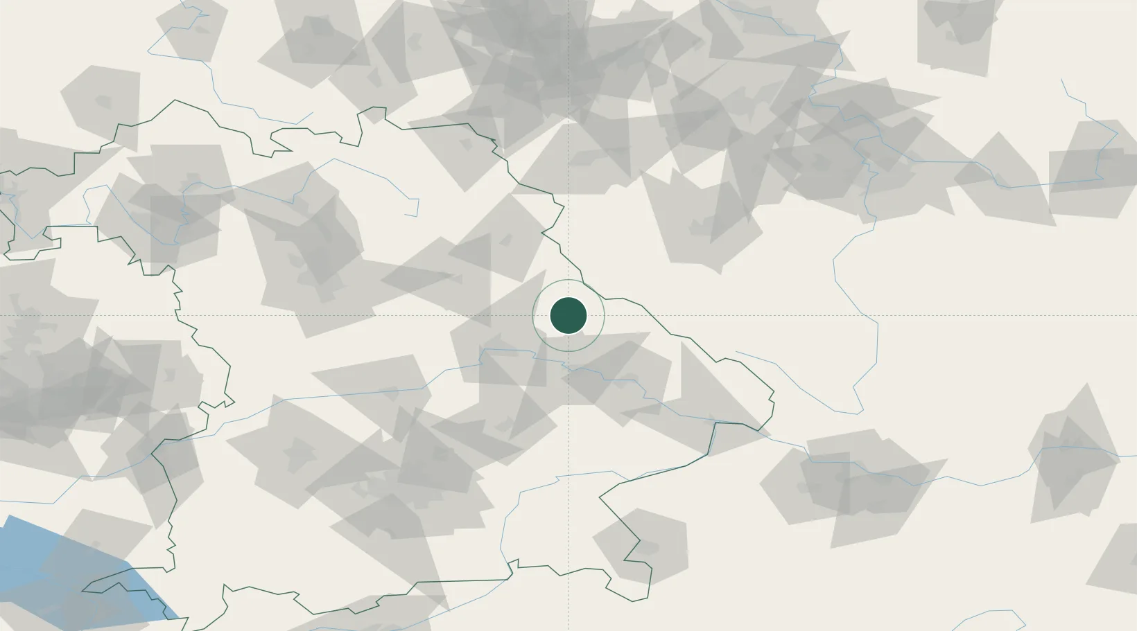
Hub Profile
Region
BY
Location
Nearby Logistics Neighbours
Cities
- 1Neunburg vorm Wald16 km
- 2Waldmünchen18 km
- 3Bodenwöhr19 km
- 4Pissau19 km
- 5Kötzting23 km
Ports
- 1Nogaro389 km
- 2Monfalcone391 km
- 3Grado397 km
- 4Trieste408 km
- 5Muggia414 km
Airports
- 1Hohenfels Army Airfield52 km
- 2Grafenwöhr Army Air Field68 km
- 3Plzeň-Líně Airport72 km
- 4Landshut Airfield89 km
- 5Ingolstadt Manching Airport94 km
Trade Zones
DatabookThe Record of Consolidated Knowledge
Germany beyond logistics?