Transport Functions
Multimodal
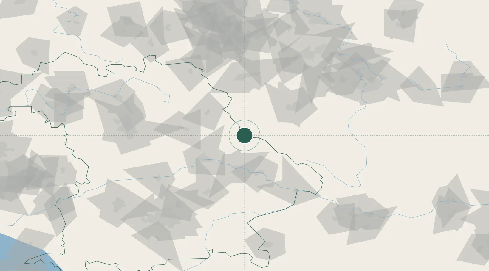
Hub Profile
Place type
Populated place
Region
Bavaria
Population
7,392
Time zone
Europe/Berlin
Elevation
526 m
Location
Nearby Logistics Neighbours
Cities
- 1Chodov10 km
- 2Ceská Kubice11 km
- 3Poesing18 km
- 4Kout na Sumave22 km
- 5Neunburg vorm Wald23 km
Ports
- 1Nogaro403 km
- 2Monfalcone404 km
- 3Grado411 km
- 4Trieste421 km
- 5Muggia426 km
Airports
- 1Plzeň-Líně Airport54 km
- 2Hohenfels Army Airfield65 km
- 3Grafenwöhr Army Air Field66 km
- 4Karlovy Vary Airport94 km
- 5Bayreuth Airport103 km
Trade Zones
DatabookThe Record of Consolidated Knowledge
Germany beyond logistics?