Transport Functions
Road
Multimodal
Hub Profile
Place type
Populated place
Region
Bavaria
Time zone
Europe/Berlin
Elevation
505 m
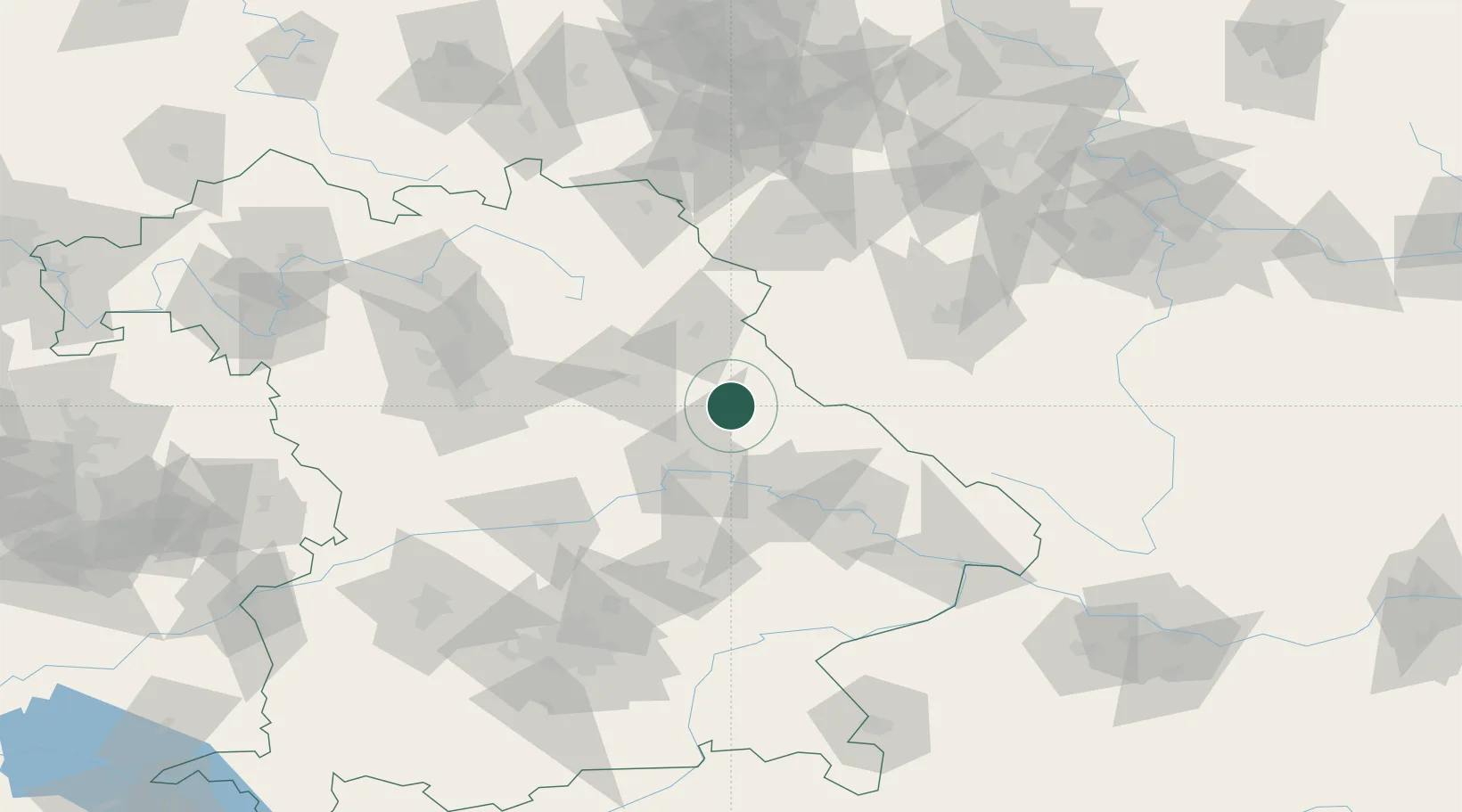
Location
Nearby Logistics Neighbours
Cities
- 1Neunburg vorm Wald4 km
- 2Bodenwöhr8 km
- 3Stulln17 km
- 4Poesing19 km
- 5Stein22 km
Ports
- 1Nogaro402 km
- 2Monfalcone405 km
- 3Grado411 km
- 4Trieste423 km
- 5Muggia429 km
Airports
- 1Hohenfels Army Airfield38 km
- 2Grafenwöhr Army Air Field50 km
- 3Plzeň-Líně Airport78 km
- 4Bayreuth Airport88 km
- 5Ingolstadt Manching Airport90 km
Trade Zones
DatabookThe Record of Consolidated Knowledge
Germany beyond logistics?