UN/LOCODE hub · Germany
DEBVR

Bodenwöhr

49.2667°, 12.3000°
1
Transport functions

Transport Functions

Multimodal
UN/LOCODE

Hub Profile

Region
BY
GeoNames

Location

Location of DEBVR
Natural Earth 10m (public domain) · BY · DEBVR · 49.27, 12.30GoogleOSMYandex

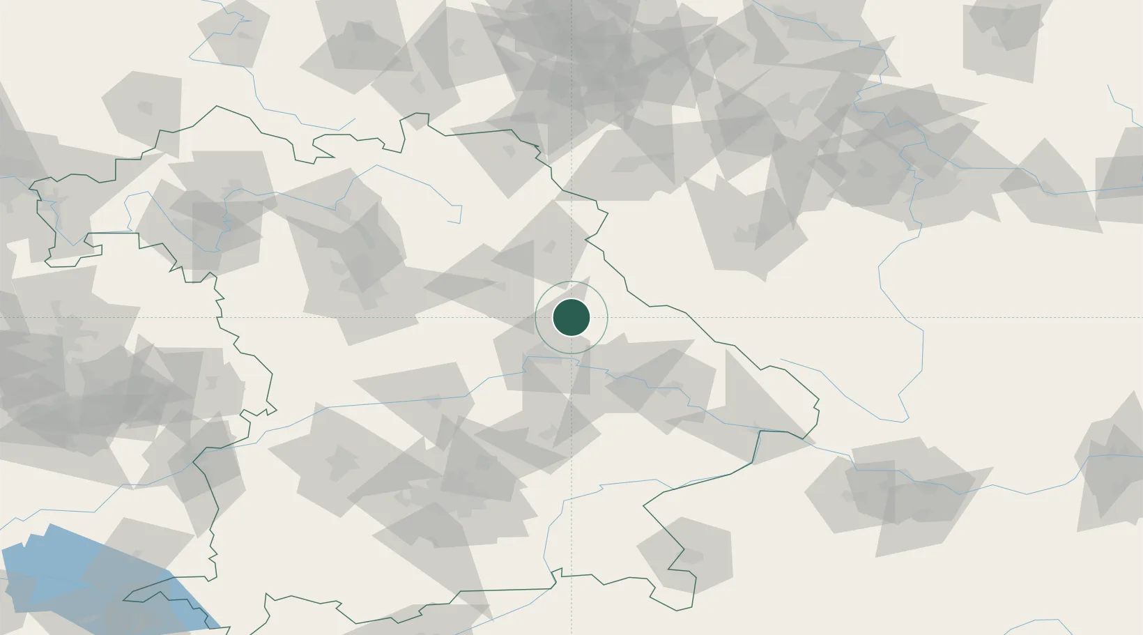
Nearby Logistics Neighbours

Cities
  1. 1Pissau8 km
  2. 2Neunburg vorm Wald10 km
  3. 3Maxhütte-Haidhof16 km
  4. 4Teublitz17 km
  5. 5Poesing19 km
Nearest neighbours — logibook spatial index (haversine) over the source coordinates
Ports
  1. 1Nogaro395 km
  2. 2Monfalcone399 km
  3. 3Grado404 km
  4. 4Trieste417 km
  5. 5Muggia422 km
Nearest neighbours — logibook spatial index (haversine) over the source coordinates
Airports
  1. 1Hohenfels Army Airfield34 km
  2. 2Grafenwöhr Army Air Field55 km
  3. 3Ingolstadt Manching Airport83 km
  4. 4Plzeň-Líně Airport84 km
  5. 5Landshut Airfield86 km
Nearest neighbours — logibook spatial index (haversine) over the source coordinates
Trade Zones
  1. 1Freeport of Deggendorf64 km
  2. 2Podbořany Industrial Zone133 km
  3. 3Žatec - Triangle Strategic Industrial Zone153 km
  4. 4Most - Joseph Industrial Zone166 km
  5. 5Industrial Zone Kutna Hora228 km
Nearest neighbours — logibook spatial index (haversine) over the source coordinates
DatabookThe Record of Consolidated Knowledge
Germany beyond logistics?
Browse databook

All Sources

LocationsUN/LOCODE
UN/LOCODE — free
Portsthe NGA World Port Index
Public domain (US gov)
AirportsOurAirports
Public domain
Trade Zonesthe World Bank SEZ database
CC BY 4.0
Trade ZonesOpen Zone Map
CC BY
← Germany locations