Transport Functions
Multimodal
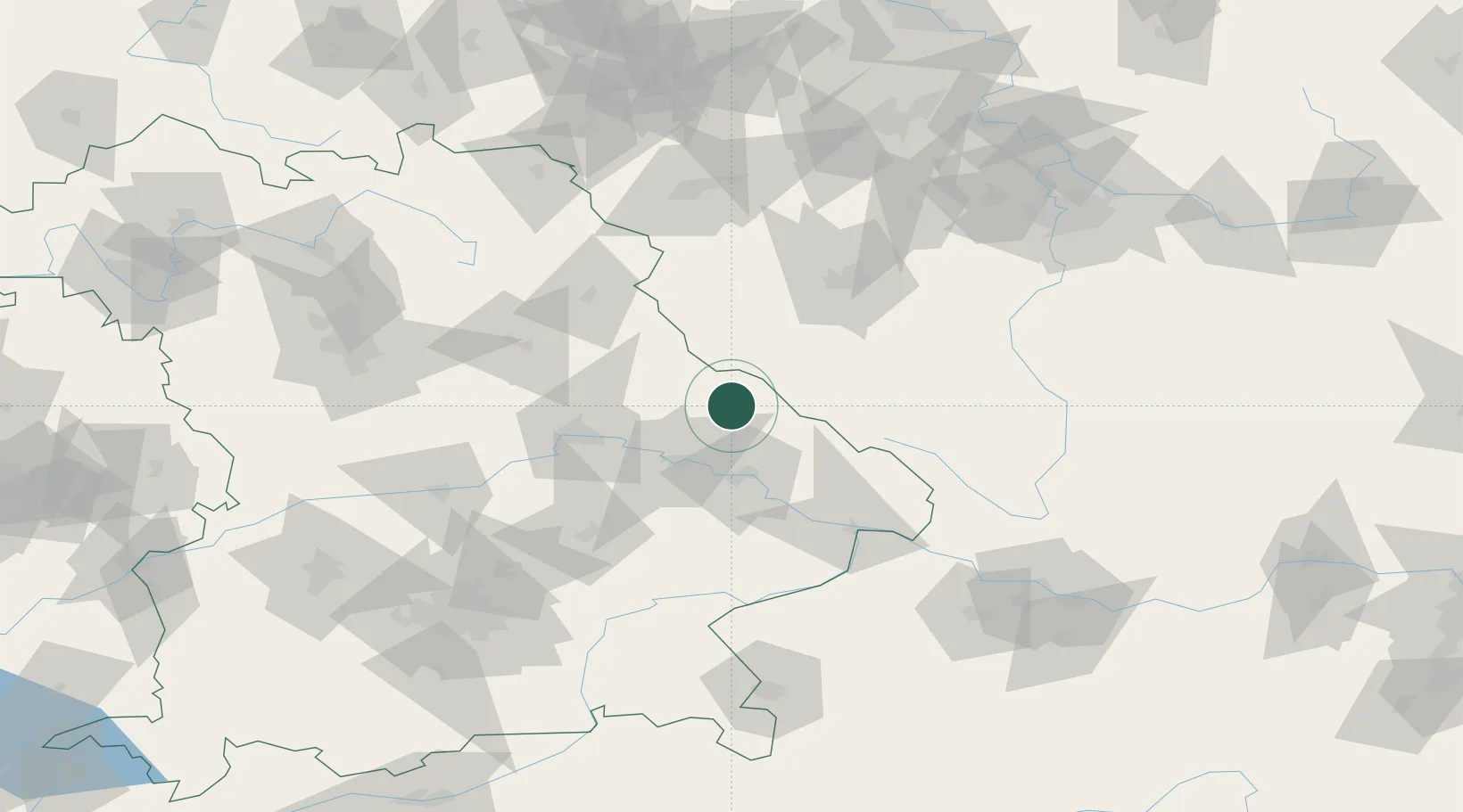
Hub Profile
Place type
Populated place
Region
Bavaria
Population
7,471
Time zone
Europe/Berlin
Elevation
424 m
Location
Nearby Logistics Neighbours
Cities
- 1Lam14 km
- 2Patersdorf (Regen)19 km
- 3Bodenmais21 km
- 4Ceská Kubice22 km
- 5Ruhmannsfelden23 km
Ports
- 1Nogaro380 km
- 2Monfalcone380 km
- 3Grado387 km
- 4Trieste397 km
- 5Muggia403 km
Airports
- 1Plzeň-Líně Airport64 km
- 2Hohenfels Army Airfield74 km
- 3Grafenwöhr Army Air Field89 km
- 4Landshut Airfield94 km
- 5Ingolstadt Manching Airport108 km
Trade Zones
DatabookThe Record of Consolidated Knowledge
Germany beyond logistics?