UN/LOCODE hub · Germany
DENBW
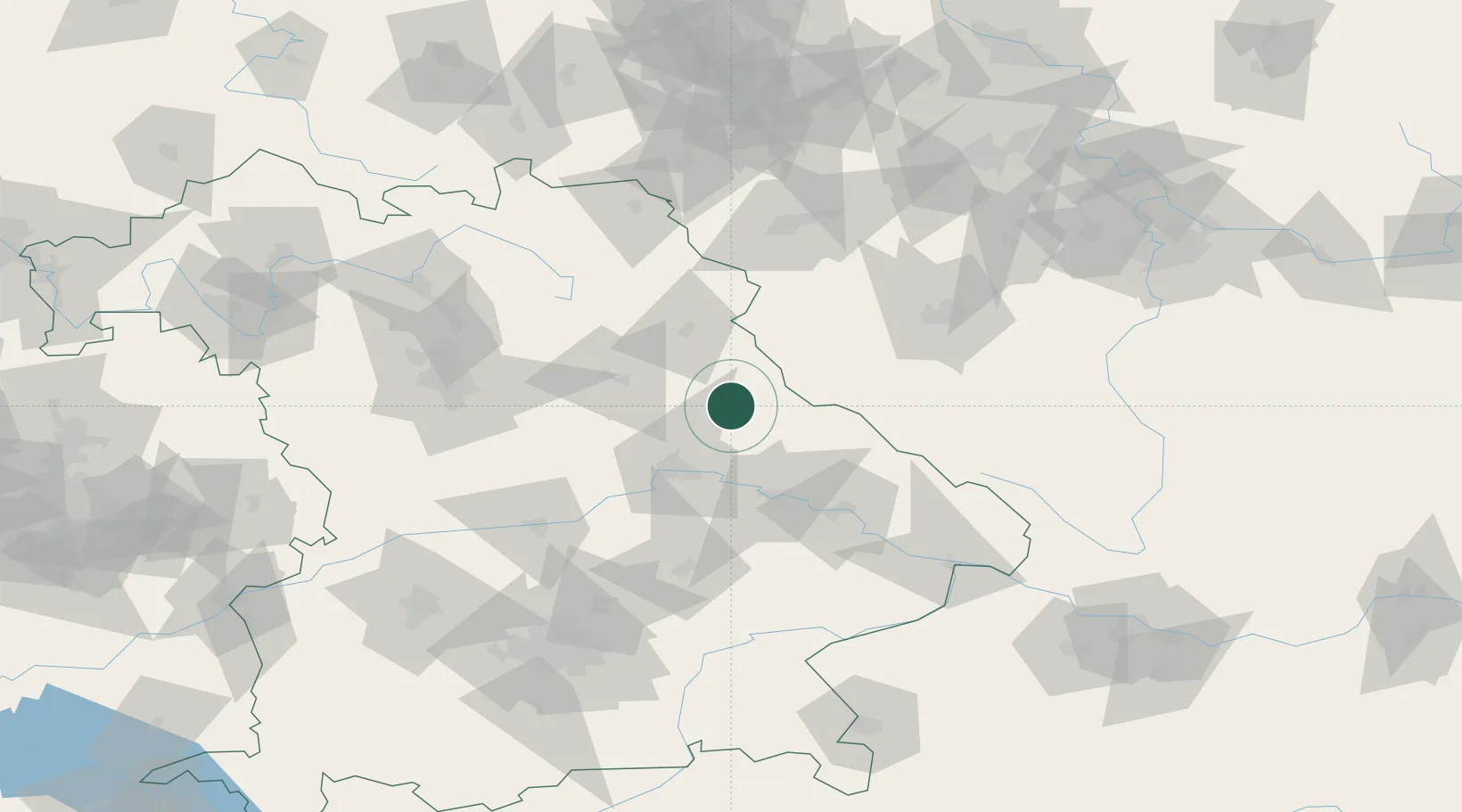
Neunburg vorm Wald
49.3333°, 12.3833°
8,172
Population
2
Transport functions
Transport Functions
Rail
Road
Hub Profile
Place type
Populated place
Region
Bavaria
Population
8,172
Time zone
Europe/Berlin
Elevation
390 m
Location
Nearby Logistics Neighbours
Ports
- 1Nogaro402 km
- 2Monfalcone404 km
- 3Grado410 km
- 4Trieste422 km
- 5Muggia428 km
Airports
- 1Hohenfels Army Airfield42 km
- 2Grafenwöhr Army Air Field52 km
- 3Plzeň-Líně Airport75 km
- 4Bayreuth Airport90 km
- 5Ingolstadt Manching Airport93 km
Trade Zones
DatabookThe Record of Consolidated Knowledge
Germany beyond logistics?