Transport Functions
Multimodal
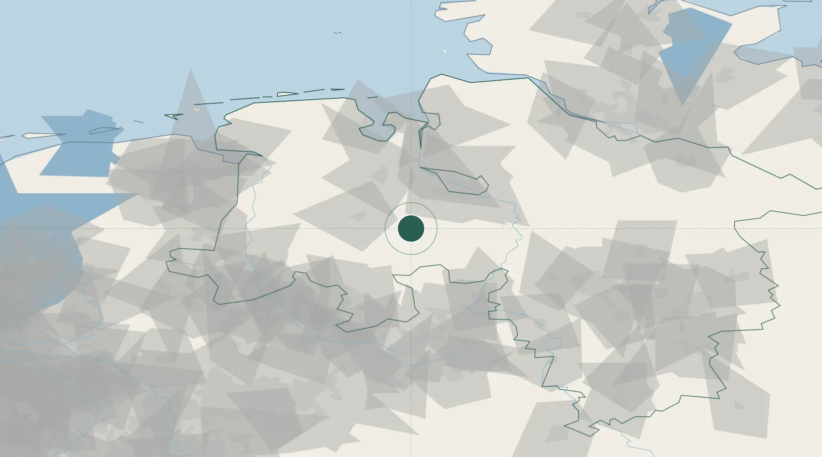
Hub Profile
Place type
Local administrative seat
Region
Lower Saxony
Population
9,110
Time zone
Europe/Berlin
Elevation
36 m
Location
Nearby Logistics Neighbours
Cities
- 1Barnstorf9 km
- 2Langförden11 km
- 3Drebber15 km
- 4Harpstedt16 km
- 5Dötlingen17 km
Airports
- 1Diepholz Air Base23 km
- 2Bremen Airport38 km
- 3Bückeburg Air Base71 km
- 4Wunstorf Air Base76 km
- 5Münster Osnabrück Airport88 km
Trade Zones
DatabookThe Record of Consolidated Knowledge
Germany beyond logistics?