UN/LOCODE hub · Germany
DEDR5

Drebber

52.6500°, 8.4333°
2
Transport functions

Transport Functions

Port
Road
UN/LOCODE

Hub Profile

Region
NI
GeoNames

Location

Location of DEDR5
Natural Earth 10m (public domain) · NI · DEDR5 · 52.65, 8.43GoogleOSMYandex

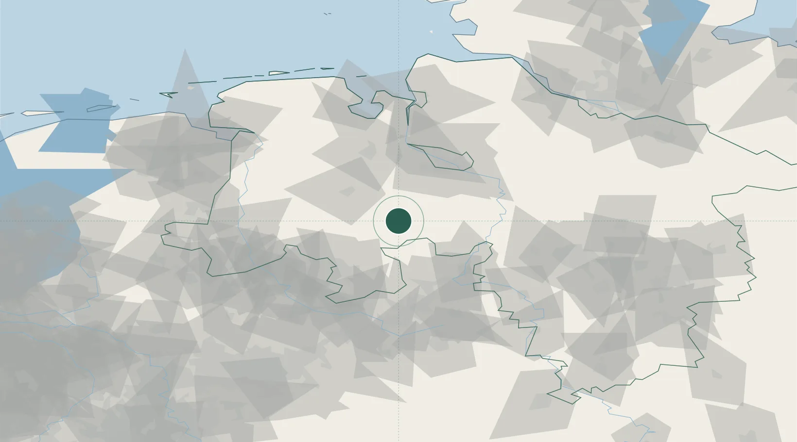
Nearby Logistics Neighbours

Cities
  1. 1Diepholz7 km
  2. 2Barnstorf9 km
  3. 3Lohne bei Vechta14 km
  4. 4Lembruch14 km
  5. 5Goldenstedt15 km
Nearest neighbours — logibook spatial index (haversine) over the source coordinates
Ports
  1. 1Oldenburg54 km
  2. 2Bremen58 km
  3. 3Elsfleth65 km
  4. 4Brake76 km
  5. 5Papenburg86 km
Nearest neighbours — logibook spatial index (haversine) over the source coordinates
Airports
  1. 1Diepholz Air Base9 km
  2. 2Bremen Airport50 km
  3. 3Bückeburg Air Base60 km
  4. 4Wunstorf Air Base71 km
  5. 5Münster Osnabrück Airport77 km
Nearest neighbours — logibook spatial index (haversine) over the source coordinates
Trade Zones
  1. 1Freeport of Bremerhaven (Freihafen Bremerhaven)54 km
  2. 2Freeport of Emden113 km
  3. 3Freeport of Cuxhaven (Freihafen Cuxhaven)131 km
  4. 4Freeport of Duisburg184 km
  5. 5Freeport of Kiel220 km
Nearest neighbours — logibook spatial index (haversine) over the source coordinates
DatabookThe Record of Consolidated Knowledge
Germany beyond logistics?
Browse databook

All Sources

LocationsUN/LOCODE
UN/LOCODE — free
Portsthe NGA World Port Index
Public domain (US gov)
AirportsOurAirports
Public domain
Trade Zonesthe World Bank SEZ database
CC BY 4.0
Trade ZonesOpen Zone Map
CC BY
← Germany locations