Transport Functions
Road
Multimodal
Hub Profile
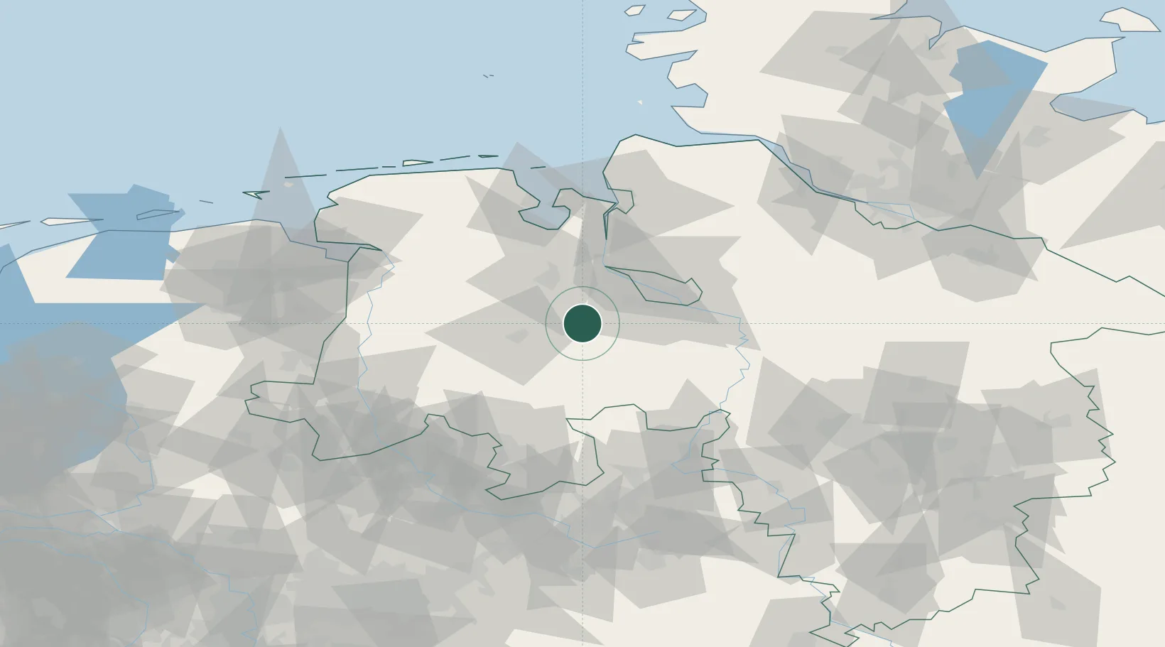
Place type
Local administrative seat
Region
Lower Saxony
Population
6,122
Time zone
Europe/Berlin
Elevation
31 m
Location
Nearby Logistics Neighbours
Cities
- 1Brettorf7 km
- 2Grossenkneten8 km
- 3Hatten10 km
- 4Harpstedt14 km
- 5Ganderkesee15 km
Airports
- 1Bremen Airport30 km
- 2Diepholz Air Base39 km
- 3Wittmundhafen Air Base83 km
- 4Bückeburg Air Base87 km
- 5Wunstorf Air Base88 km
Trade Zones
DatabookThe Record of Consolidated Knowledge
Germany beyond logistics?