Transport Functions
Rail
Road
Hub Profile
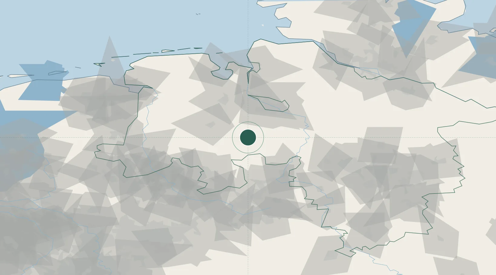
Place type
Populated place
Region
Lower Saxony
Population
6,050
Time zone
Europe/Berlin
Elevation
33 m
Location
Nearby Logistics Neighbours
Cities
- 1Goldenstedt9 km
- 2Drebber9 km
- 3Ehrenburg14 km
- 4Diepholz16 km
- 5Langförden17 km
Airports
- 1Diepholz Air Base18 km
- 2Bremen Airport42 km
- 3Bückeburg Air Base63 km
- 4Wunstorf Air Base69 km
- 5Bielefeld Airport84 km
Trade Zones
DatabookThe Record of Consolidated Knowledge
Germany beyond logistics?