Transport Functions
Multimodal
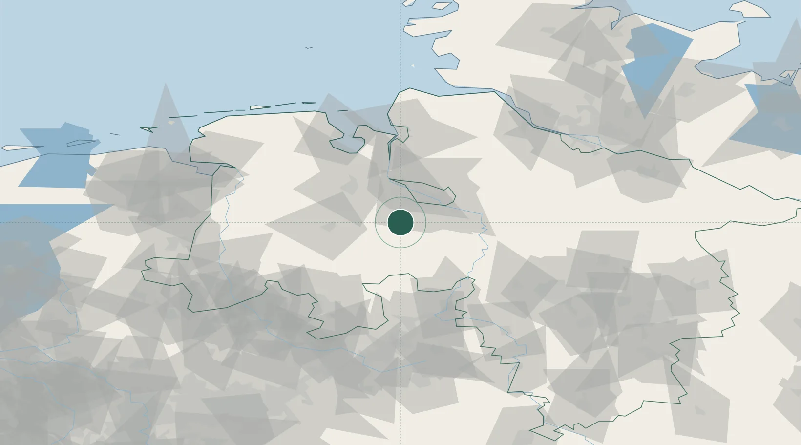
Hub Profile
Place type
Populated place
Region
Lower Saxony
Population
4,558
Time zone
Europe/Berlin
Elevation
33 m
Location
Nearby Logistics Neighbours
Cities
- 1Dünsen4 km
- 2Gross Ippener8 km
- 3Brettorf11 km
- 4Bassum12 km
- 5Dötlingen14 km
Airports
- 1Bremen Airport21 km
- 2Diepholz Air Base39 km
- 3Wunstorf Air Base75 km
- 4Bückeburg Air Base77 km
- 5Hannover Airport89 km
Trade Zones
DatabookThe Record of Consolidated Knowledge
Germany beyond logistics?