UN/LOCODE hub · Germany
DELNF

Langförden

52.7833°, 8.2667°
2
Transport functions

Transport Functions

Road
Multimodal
UN/LOCODE

Hub Profile

Region
NI
GeoNames

Location

Location of DELNF
Natural Earth 10m (public domain) · NI · DELNF · 52.78, 8.27GoogleOSMYandex

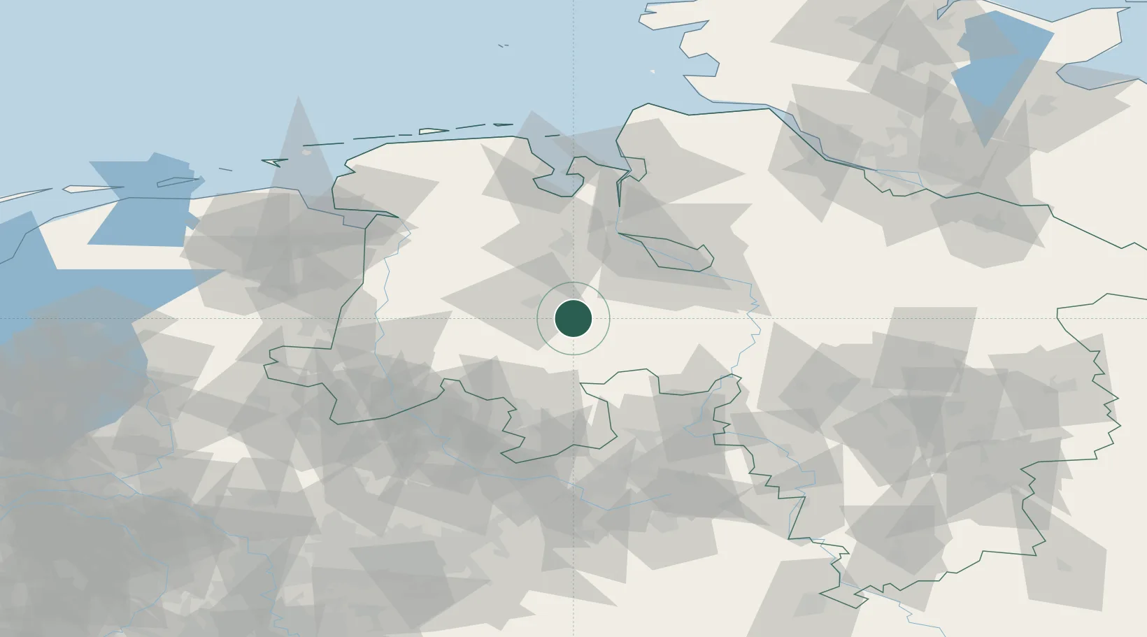
Nearby Logistics Neighbours

Cities
  1. 1Emstek10 km
  2. 2Goldenstedt11 km
  3. 3Lohne bei Vechta13 km
  4. 4Cloppenburg17 km
  5. 5Barnstorf17 km
Nearest neighbours — logibook spatial index (haversine) over the source coordinates
Ports
  1. 1Oldenburg37 km
  2. 2Bremen51 km
  3. 3Elsfleth52 km
  4. 4Brake63 km
  5. 5Papenburg69 km
Nearest neighbours — logibook spatial index (haversine) over the source coordinates
Airports
  1. 1Diepholz Air Base23 km
  2. 2Bremen Airport46 km
  3. 3Bückeburg Air Base79 km
  4. 4Münster Osnabrück Airport82 km
  5. 5Wunstorf Air Base86 km
Nearest neighbours — logibook spatial index (haversine) over the source coordinates
Trade Zones
  1. 1Freeport of Bremerhaven (Freihafen Bremerhaven)48 km
  2. 2Freeport of Emden95 km
  3. 3Freeport of Cuxhaven (Freihafen Cuxhaven)118 km
  4. 4Freeport of Duisburg188 km
  5. 5Freeport of Kiel214 km
Nearest neighbours — logibook spatial index (haversine) over the source coordinates
DatabookThe Record of Consolidated Knowledge
Germany beyond logistics?
Browse databook

All Sources

LocationsUN/LOCODE
UN/LOCODE — free
Portsthe NGA World Port Index
Public domain (US gov)
AirportsOurAirports
Public domain
Trade Zonesthe World Bank SEZ database
CC BY 4.0
Trade ZonesOpen Zone Map
CC BY
← Germany locations