UN/LOCODE hub · Germany
DEWNG
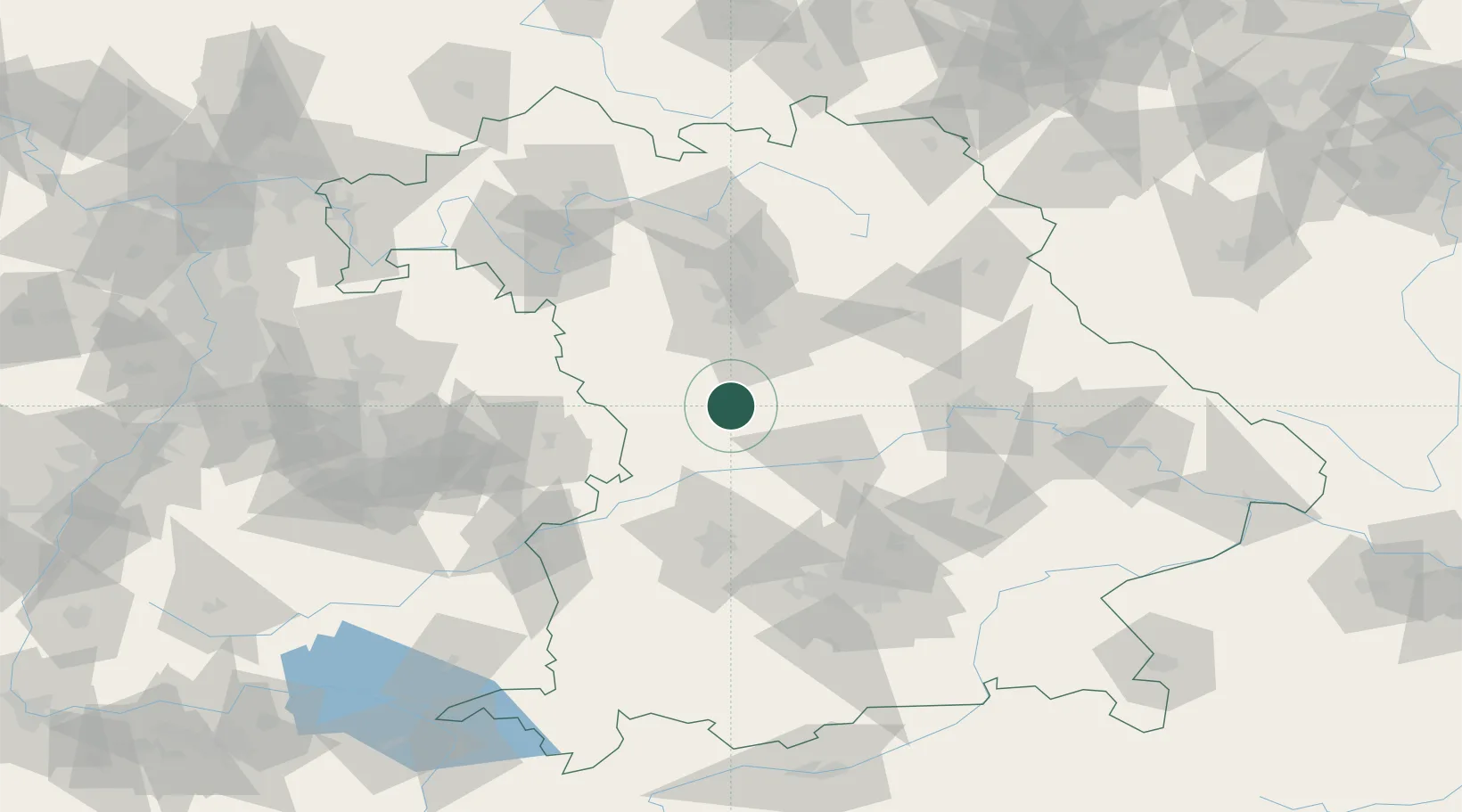
Weissenburg in Bayern
49.0333°, 10.9667°
18,578
Population
4
Transport functions
Transport Functions
Port
Rail
Road
Multimodal
Hub Profile
Place type
Populated place
Region
Bavaria
Population
18,578
Time zone
Europe/Berlin
Elevation
428 m
Location
Nearby Logistics Neighbours
Cities
- 1Weissenburg1 km
- 2Höttingen5 km
- 3Lengenfeld8 km
- 4Bubenheim8 km
- 5Heidenheim16 km
Ports
- 1Nogaro400 km
- 2Monfalcone410 km
- 3Grado410 km
- 4Porto Di Lido-Venezia417 km
- 5Trieste430 km
Airports
- 1Neuburg Air Base40 km
- 2Nuremberg Airport52 km
- 3Ingolstadt Manching Airport55 km
- 4Hohenfels Army Airfield67 km
- 5Augsburg Airport68 km
Trade Zones
- 1Freeport of Deggendorf143 km
- 2Podbořany Industrial Zone220 km
- 3Žatec - Triangle Strategic Industrial Zone238 km
- 4ZFU Neuhof241 km
- 5ZFU Hautepierre245 km
DatabookThe Record of Consolidated Knowledge
Germany beyond logistics?