Transport Functions
Multimodal
Hub Profile
Place type
Populated place
Region
Bavaria
Time zone
Europe/Berlin
Elevation
417 m
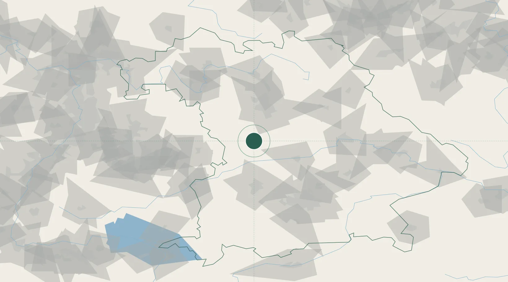
Location
Nearby Logistics Neighbours
Cities
- 1Bubenheim2 km
- 2Weissenburg in Bayern8 km
- 3Heidenheim9 km
- 4Weissenburg9 km
- 5Bischberg-Trosdorf10 km
Ports
- 1Nogaro400 km
- 2Grado410 km
- 3Monfalcone411 km
- 4Porto Di Lido-Venezia416 km
- 5Trieste431 km
Airports
- 1Neuburg Air Base41 km
- 2Nuremberg Airport58 km
- 3Ingolstadt Manching Airport58 km
- 4Augsburg Airport64 km
- 5Hohenfels Army Airfield75 km
Trade Zones
- 1Freeport of Deggendorf150 km
- 2Podbořany Industrial Zone228 km
- 3ZFU Neuhof233 km
- 4ZFU Hautepierre237 km
- 5Žatec - Triangle Strategic Industrial Zone246 km
DatabookThe Record of Consolidated Knowledge
Germany beyond logistics?