Transport Functions
Rail
Road
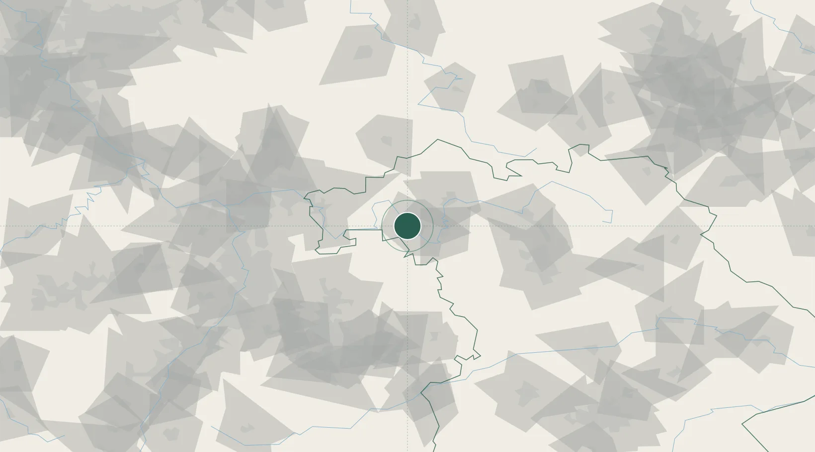
Hub Profile
Place type
Populated place
Region
Bavaria
Population
4,035
Time zone
Europe/Berlin
Elevation
177 m
Location
Nearby Logistics Neighbours
Cities
- 1Margetshöchheim2 km
- 2Höchberg4 km
- 3Waldbüttelbrunn4 km
- 4Erlabrunn6 km
- 5Thüngersheim6 km
Airports
- 1Niederstetten Army Air Base48 km
- 2Bamberg-Breitenau Airfield76 km
- 3Adolf Würth Airport78 km
- 4Frankfurt-Egelsbach Airport89 km
- 5Nuremberg Airport94 km
Trade Zones
- 1ZFU Hautepierre208 km
- 2ZFU Neuhof209 km
- 3ZFU La Cité Behren-lès-Forbach224 km
- 4Luxembourg Free Port263 km
- 5Rheinische Revier SWZ276 km
DatabookThe Record of Consolidated Knowledge
Germany beyond logistics?