UN/LOCODE hub · Germany
DEMGM

Margetshöchheim

49.8333°, 9.8500°
3,256
Population
1
Transport functions

Transport Functions

Multimodal
UN/LOCODE

Hub Profile

Place type
Local administrative seat
GeoNames
Region
Bavaria
GeoNames
Population
3,256
GeoNames
Time zone
Europe/Berlin
GeoNames
Elevation
176 m
GeoNames

Location

Location of DEMGM
Natural Earth 10m (public domain) · Bavaria · DEMGM · 49.83, 9.85GoogleOSMYandex

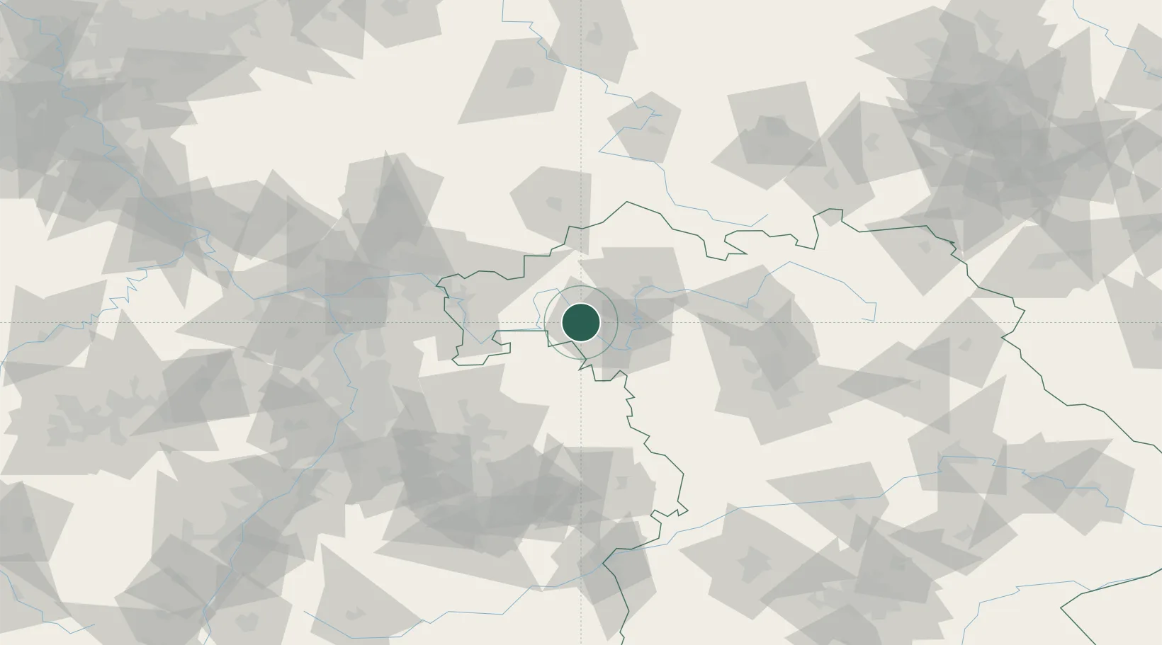
Nearby Logistics Neighbours

Cities
  1. 1Zell am Main2 km
  2. 2Erlabrunn4 km
  3. 3Thüngersheim4 km
  4. 4Waldbüttelbrunn6 km
  5. 5Höchberg6 km
Nearest neighbours — logibook spatial index (haversine) over the source coordinates
Ports
  1. 1Bremen375 km
  2. 2Oldenburg382 km
  3. 3Elsfleth390 km
  4. 4Brake401 km
  5. 5Papenburg401 km
Nearest neighbours — logibook spatial index (haversine) over the source coordinates
Airports
  1. 1Niederstetten Army Air Base50 km
  2. 2Bamberg-Breitenau Airfield77 km
  3. 3Adolf Würth Airport80 km
  4. 4Frankfurt-Egelsbach Airport88 km
  5. 5Frankfurt Main Airport95 km
Nearest neighbours — logibook spatial index (haversine) over the source coordinates
Trade Zones
  1. 1ZFU Hautepierre209 km
  2. 2ZFU Neuhof209 km
  3. 3ZFU La Cité Behren-lès-Forbach224 km
  4. 4Luxembourg Free Port262 km
  5. 5Rheinische Revier SWZ274 km
Nearest neighbours — logibook spatial index (haversine) over the source coordinates
DatabookThe Record of Consolidated Knowledge
Germany beyond logistics?
Browse databook

All Sources

LocationsUN/LOCODE
UN/LOCODE — free
LocationsGeoNames
CC BY 4.0
Portsthe NGA World Port Index
Public domain (US gov)
AirportsOurAirports
Public domain
Trade Zonesthe World Bank SEZ database
CC BY 4.0
Trade ZonesOpen Zone Map
CC BY
← Germany locations