Transport Functions
Multimodal
Hub Profile
Place type
Local administrative seat
Region
Lower Saxony
Population
1,760
Time zone
Europe/Berlin
Elevation
47 m
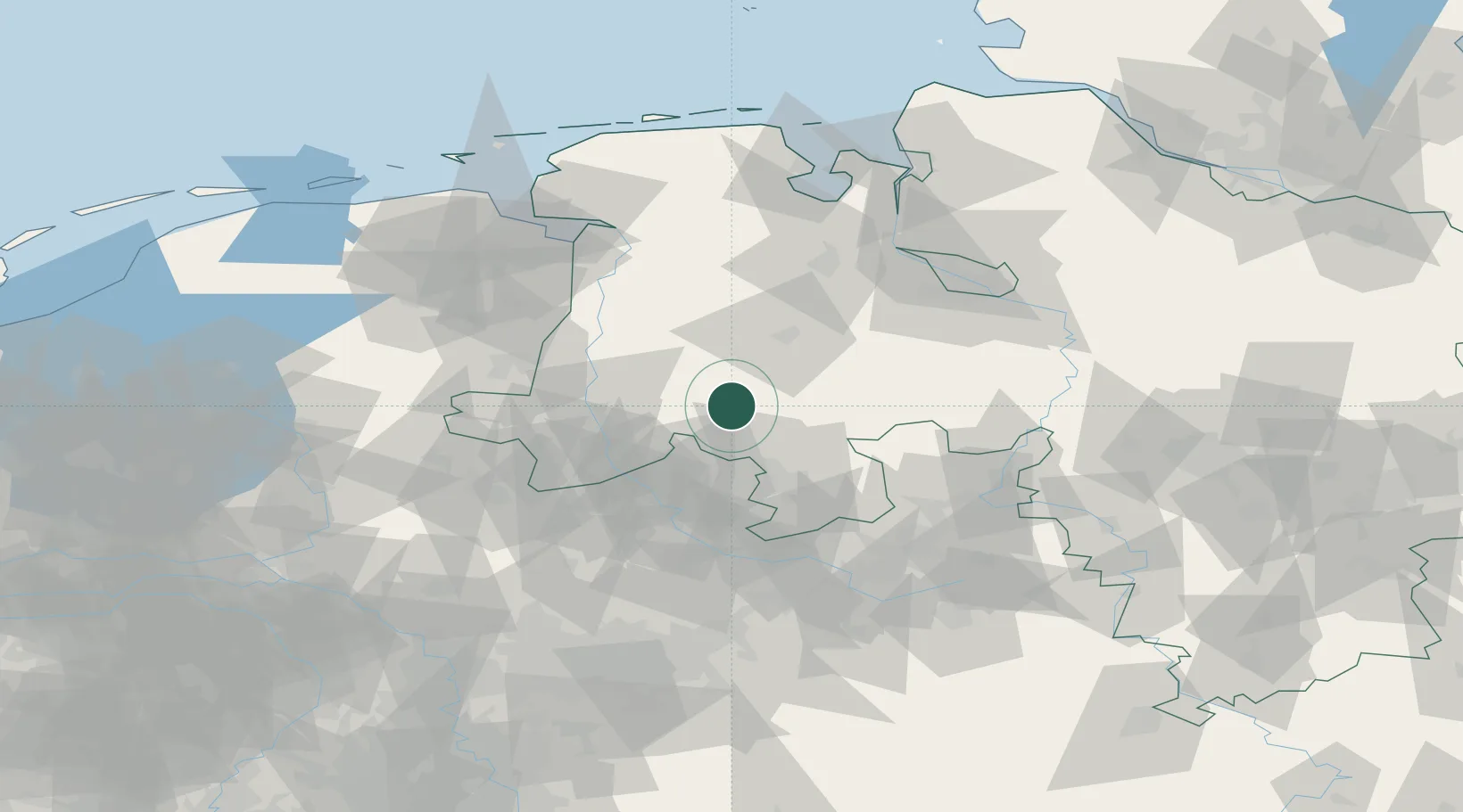
Location
Nearby Logistics Neighbours
Cities
- 1Eggermühlen2 km
- 2Ankum5 km
- 3Bippen7 km
- 4Bersenbrück8 km
- 5Merzen11 km
Airports
- 1Diepholz Air Base34 km
- 2Münster Osnabrück Airport51 km
- 3Twente Airport73 km
- 4Bremen Airport82 km
- 5Bielefeld Airport84 km
Trade Zones
DatabookThe Record of Consolidated Knowledge
Germany beyond logistics?