UN/LOCODE hub · Germany
DEMJN

Merzen

52.4833°, 7.8333°
4,078
Population
1
Transport functions

Transport Functions

Multimodal
UN/LOCODE

Hub Profile

Place type
Local administrative seat
GeoNames
Region
Lower Saxony
GeoNames
Population
4,078
GeoNames
Time zone
Europe/Berlin
GeoNames
Elevation
102 m
GeoNames

Location

Location of DEMJN
Natural Earth 10m (public domain) · Lower Saxony · DEMJN · 52.48, 7.83GoogleOSMYandex

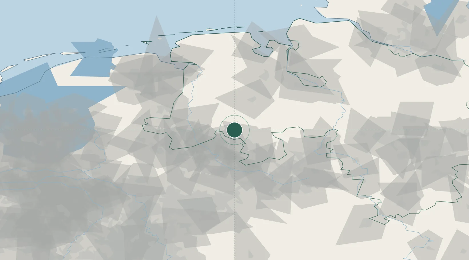
Nearby Logistics Neighbours

Cities
  1. 1Ankum8 km
  2. 2Eggermühlen9 km
  3. 3Bersenbrück10 km
  4. 4Kettenkamp11 km
  5. 5Achmer12 km
Nearest neighbours — logibook spatial index (haversine) over the source coordinates
Ports
  1. 1Papenburg75 km
  2. 2Oldenburg75 km
  3. 3Leer87 km
  4. 4Elsfleth94 km
  5. 5Bremen96 km
Nearest neighbours — logibook spatial index (haversine) over the source coordinates
Airports
  1. 1Diepholz Air Base36 km
  2. 2Münster Osnabrück Airport40 km
  3. 3Twente Airport68 km
  4. 4Bielefeld Airport75 km
  5. 5Bückeburg Air Base88 km
Nearest neighbours — logibook spatial index (haversine) over the source coordinates
Trade Zones
  1. 1Freeport of Bremerhaven (Freihafen Bremerhaven)93 km
  2. 2Freeport of Emden104 km
  3. 3Freeport of Duisburg143 km
  4. 4Freeport of Cuxhaven (Freihafen Cuxhaven)157 km
  5. 5Rheinische Revier SWZ202 km
Nearest neighbours — logibook spatial index (haversine) over the source coordinates
DatabookThe Record of Consolidated Knowledge
Germany beyond logistics?
Browse databook

All Sources

LocationsUN/LOCODE
UN/LOCODE — free
LocationsGeoNames
CC BY 4.0
Portsthe NGA World Port Index
Public domain (US gov)
AirportsOurAirports
Public domain
Trade Zonesthe World Bank SEZ database
CC BY 4.0
Trade ZonesOpen Zone Map
CC BY
← Germany locations