Transport Functions
Rail
Road
Hub Profile
Place type
Local administrative seat
Region
Lower Saxony
Population
7,186
Time zone
Europe/Berlin
Elevation
58 m
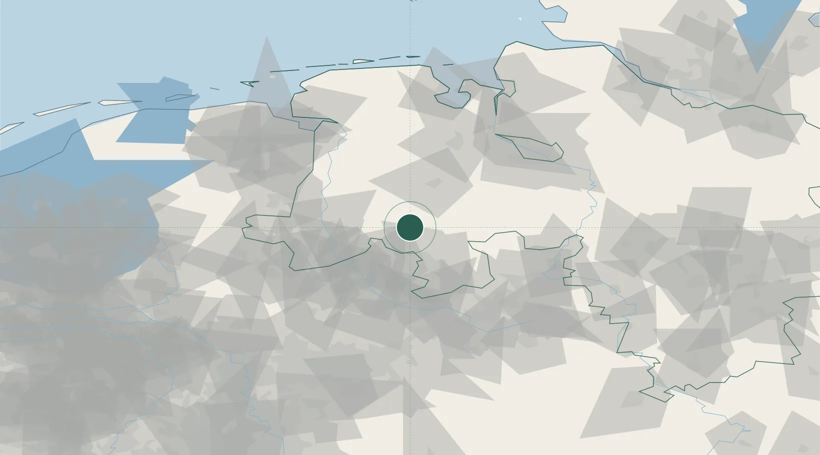
Location
Nearby Logistics Neighbours
Cities
- 1Bersenbrück3 km
- 2Eggermühlen5 km
- 3Kettenkamp5 km
- 4Merzen8 km
- 5Gehrde9 km
Airports
- 1Diepholz Air Base31 km
- 2Münster Osnabrück Airport48 km
- 3Twente Airport74 km
- 4Bielefeld Airport79 km
- 5Bremen Airport82 km
Trade Zones
DatabookThe Record of Consolidated Knowledge
Germany beyond logistics?