UN/LOCODE hub · Germany
DEBBK

Bersenbrück

52.5500°, 7.9333°
2
Transport functions

Transport Functions

Rail
Road
UN/LOCODE

Hub Profile

Region
NI
GeoNames

Location

Location of DEBBK
Natural Earth 10m (public domain) · NI · DEBBK · 52.55, 7.93GoogleOSMYandex

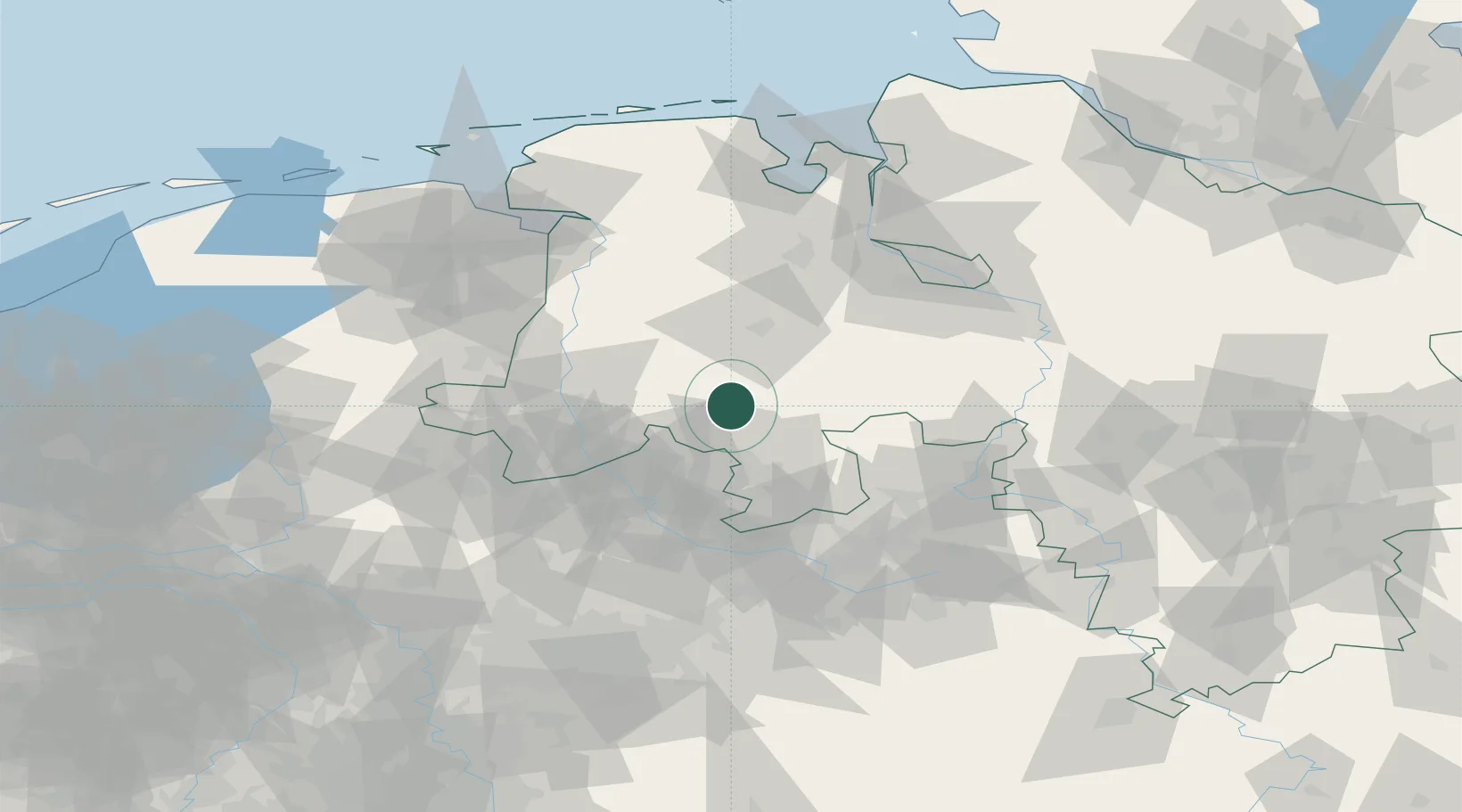
Nearby Logistics Neighbours

Cities
  1. 1Ankum3 km
  2. 2Gehrde6 km
  3. 3Kettenkamp8 km
  4. 4Eggermühlen8 km
  5. 5Badbergen10 km
Nearest neighbours — logibook spatial index (haversine) over the source coordinates
Ports
  1. 1Oldenburg66 km
  2. 2Papenburg72 km
  3. 3Leer83 km
  4. 4Elsfleth84 km
  5. 5Bremen86 km
Nearest neighbours — logibook spatial index (haversine) over the source coordinates
Airports
  1. 1Diepholz Air Base28 km
  2. 2Münster Osnabrück Airport49 km
  3. 3Twente Airport77 km
  4. 4Bielefeld Airport77 km
  5. 5Bremen Airport80 km
Nearest neighbours — logibook spatial index (haversine) over the source coordinates
Trade Zones
  1. 1Freeport of Bremerhaven (Freihafen Bremerhaven)83 km
  2. 2Freeport of Emden101 km
  3. 3Freeport of Cuxhaven (Freihafen Cuxhaven)148 km
  4. 4Freeport of Duisburg153 km
  5. 5Rheinische Revier SWZ212 km
Nearest neighbours — logibook spatial index (haversine) over the source coordinates
DatabookThe Record of Consolidated Knowledge
Germany beyond logistics?
Browse databook

All Sources

LocationsUN/LOCODE
UN/LOCODE — free
Portsthe NGA World Port Index
Public domain (US gov)
AirportsOurAirports
Public domain
Trade Zonesthe World Bank SEZ database
CC BY 4.0
Trade ZonesOpen Zone Map
CC BY
← Germany locations