Transport Functions
Multimodal
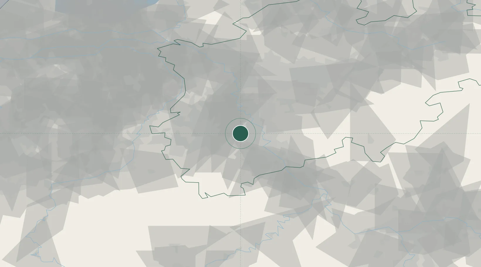
Hub Profile
Place type
Populated place
Region
North Rhine-Westphalia
Time zone
Europe/Berlin
Elevation
93 m
Location
Nearby Logistics Neighbours
Cities
- 1Bergheim7 km
- 2Rommerskirchen9 km
- 3Worringen12 km
- 4Kerpen12 km
- 5Bedburg13 km
Airports
- 1Nörvenich Air Base16 km
- 2Cologne Bonn Airport30 km
- 3Mönchengladbach Airport34 km
- 4Düsseldorf Airport36 km
- 5Geilenkirchen Air Base50 km
Trade Zones
- 1Rheinische Revier SWZ27 km
- 2Freeport of Duisburg55 km
- 3Luxembourg Free Port152 km
- 4ZFU Ronde Couture198 km
- 5ZFU La Cité Behren-lès-Forbach201 km
DatabookThe Record of Consolidated Knowledge
Germany beyond logistics?