Transport Functions
Multimodal
Hub Profile
Place type
Local administrative seat
Region
Bavaria
Population
4,107
Time zone
Europe/Berlin
Elevation
326 m
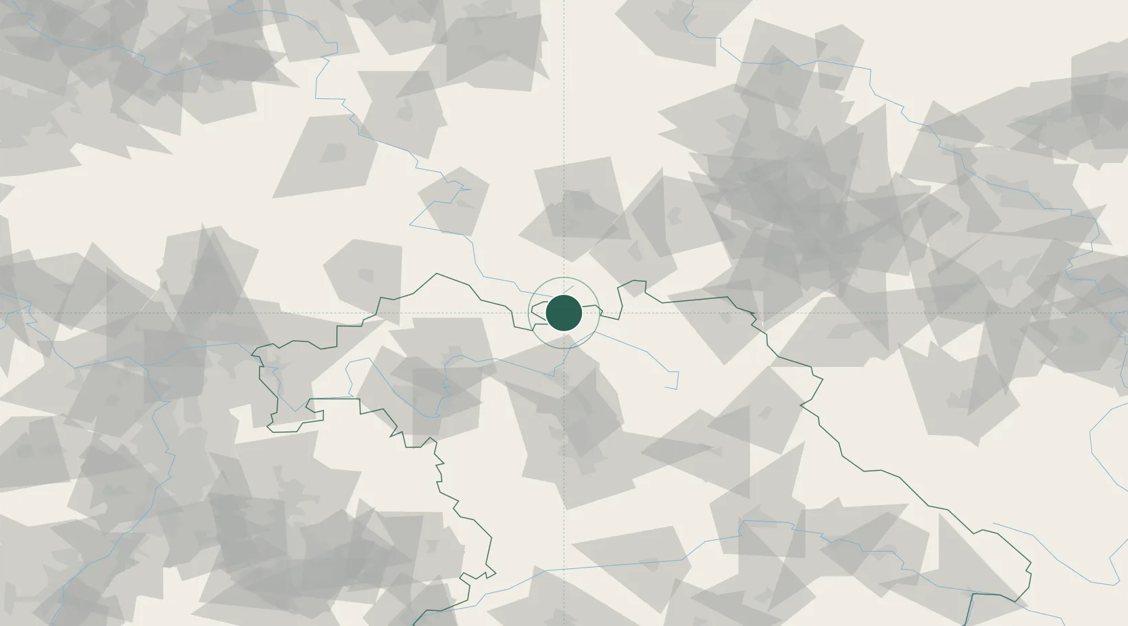
Location
Nearby Logistics Neighbours
Cities
- 1Dörfles-Esbach7 km
- 2Schalkau11 km
- 3Niederfüllbach12 km
- 4Sachsenbrunn13 km
- 5Rauenstein13 km
Airports
- 1Bamberg-Breitenau Airfield44 km
- 2Bayreuth Airport63 km
- 3Hof-Plauen Airport67 km
- 4Erfurt-Weimar Airport74 km
- 5Eisenach-Kindel Airport81 km
Trade Zones
- 1Podbořany Industrial Zone177 km
- 2Žatec - Triangle Strategic Industrial Zone185 km
- 3Most - Joseph Industrial Zone194 km
- 4Freeport of Deggendorf217 km
- 5ZFU Hautepierre302 km
DatabookThe Record of Consolidated Knowledge
Germany beyond logistics?