Transport Functions
Rail
Road
Hub Profile
Place type
Populated place
Region
Thuringia
Time zone
Europe/Berlin
Elevation
487 m
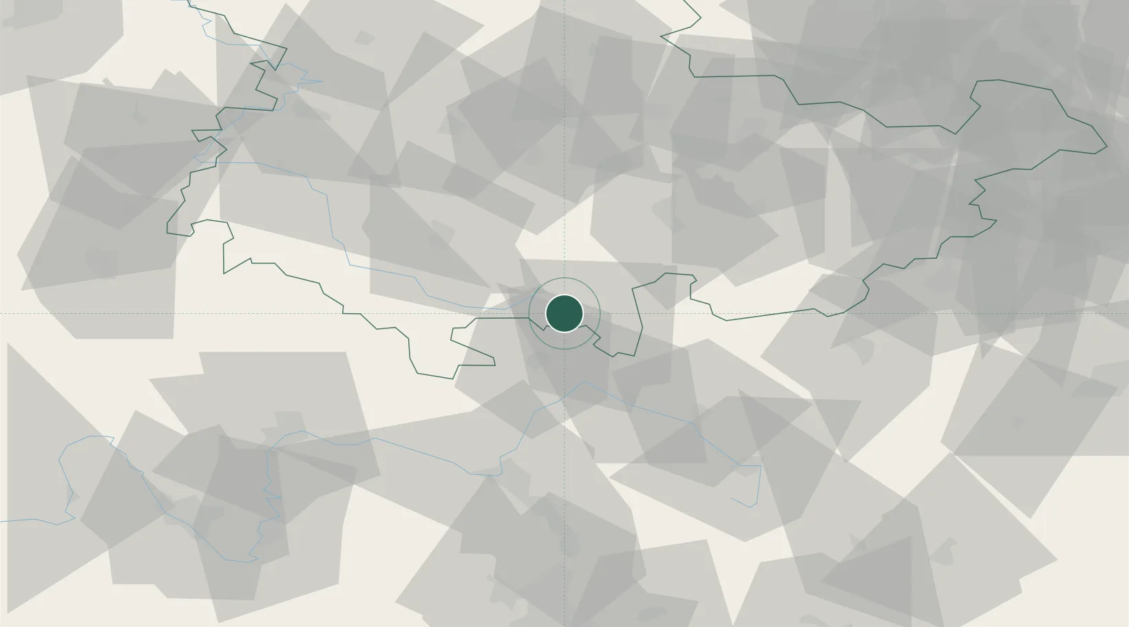
Location
Nearby Logistics Neighbours
Cities
- 1Schalkau4 km
- 2Mengersgereuth-Hämmern5 km
- 3Steinach9 km
- 4Sachsenbrunn9 km
- 5Lauscha10 km
Airports
- 1Bamberg-Breitenau Airfield54 km
- 2Hof-Plauen Airport58 km
- 3Bayreuth Airport62 km
- 4Erfurt-Weimar Airport65 km
- 5Eisenach-Kindel Airport77 km
Trade Zones
DatabookThe Record of Consolidated Knowledge
Germany beyond logistics?