Transport Functions
Rail
Road
Hub Profile
Place type
Populated place
Region
Thuringia
Population
3,367
Time zone
Europe/Berlin
Elevation
401 m
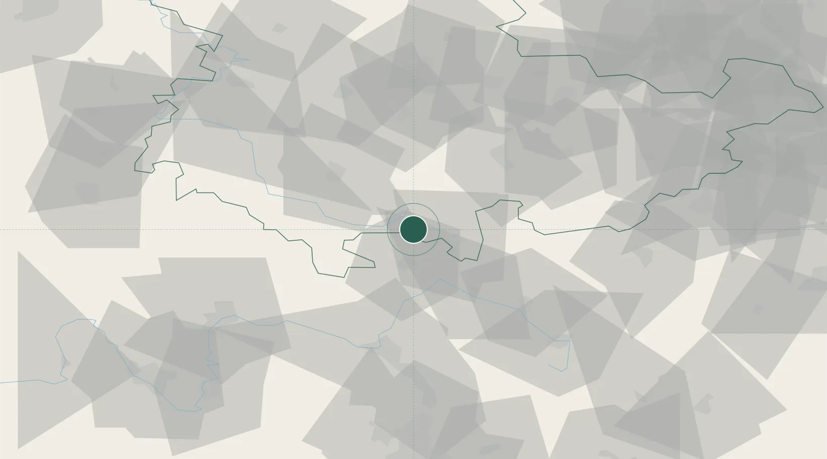
Location
Nearby Logistics Neighbours
Cities
- 1Rauenstein4 km
- 2Sachsenbrunn6 km
- 3Mengersgereuth-Hämmern8 km
- 4Meeder11 km
- 5Steinach12 km
Airports
- 1Bamberg-Breitenau Airfield54 km
- 2Hof-Plauen Airport62 km
- 3Erfurt-Weimar Airport64 km
- 4Bayreuth Airport65 km
- 5Eisenach-Kindel Airport75 km
Trade Zones
DatabookThe Record of Consolidated Knowledge
Germany beyond logistics?