Transport Functions
Rail
Road
Hub Profile
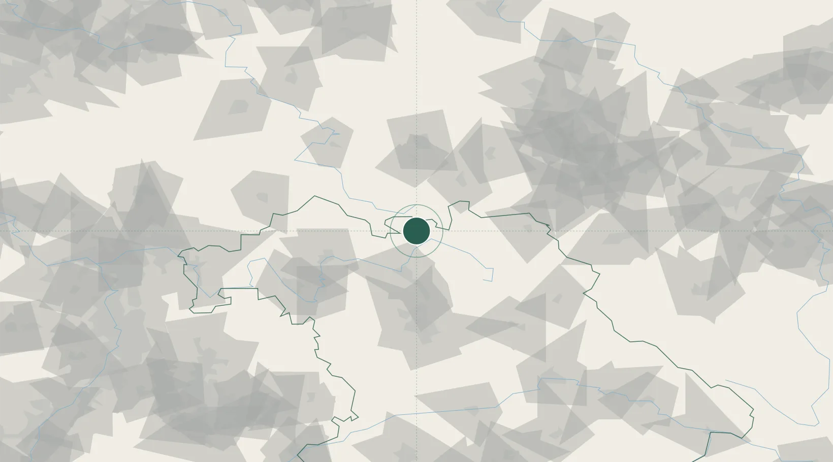
Region
BY
Location
Nearby Logistics Neighbours
Cities
- 1Niederfüllbach6 km
- 2Meeder7 km
- 3Meschenbach7 km
- 4Grossheirath12 km
- 5Sonnefeld12 km
Airports
- 1Bamberg-Breitenau Airfield39 km
- 2Bayreuth Airport56 km
- 3Hof-Plauen Airport62 km
- 4Erfurt-Weimar Airport79 km
- 5Nuremberg Airport86 km
Trade Zones
- 1Podbořany Industrial Zone172 km
- 2Žatec - Triangle Strategic Industrial Zone181 km
- 3Most - Joseph Industrial Zone190 km
- 4Freeport of Deggendorf210 km
- 5ZFU Neuhof302 km
DatabookThe Record of Consolidated Knowledge
Germany beyond logistics?