UN/LOCODE hub · Germany
DEZCQ

Niederfüllbach

50.2167°, 10.9833°
1
Transport functions

Transport Functions

Multimodal
UN/LOCODE

Hub Profile

Region
BY
GeoNames

Location

Location of DEZCQ
Natural Earth 10m (public domain) · BY · DEZCQ · 50.22, 10.98GoogleOSMYandex

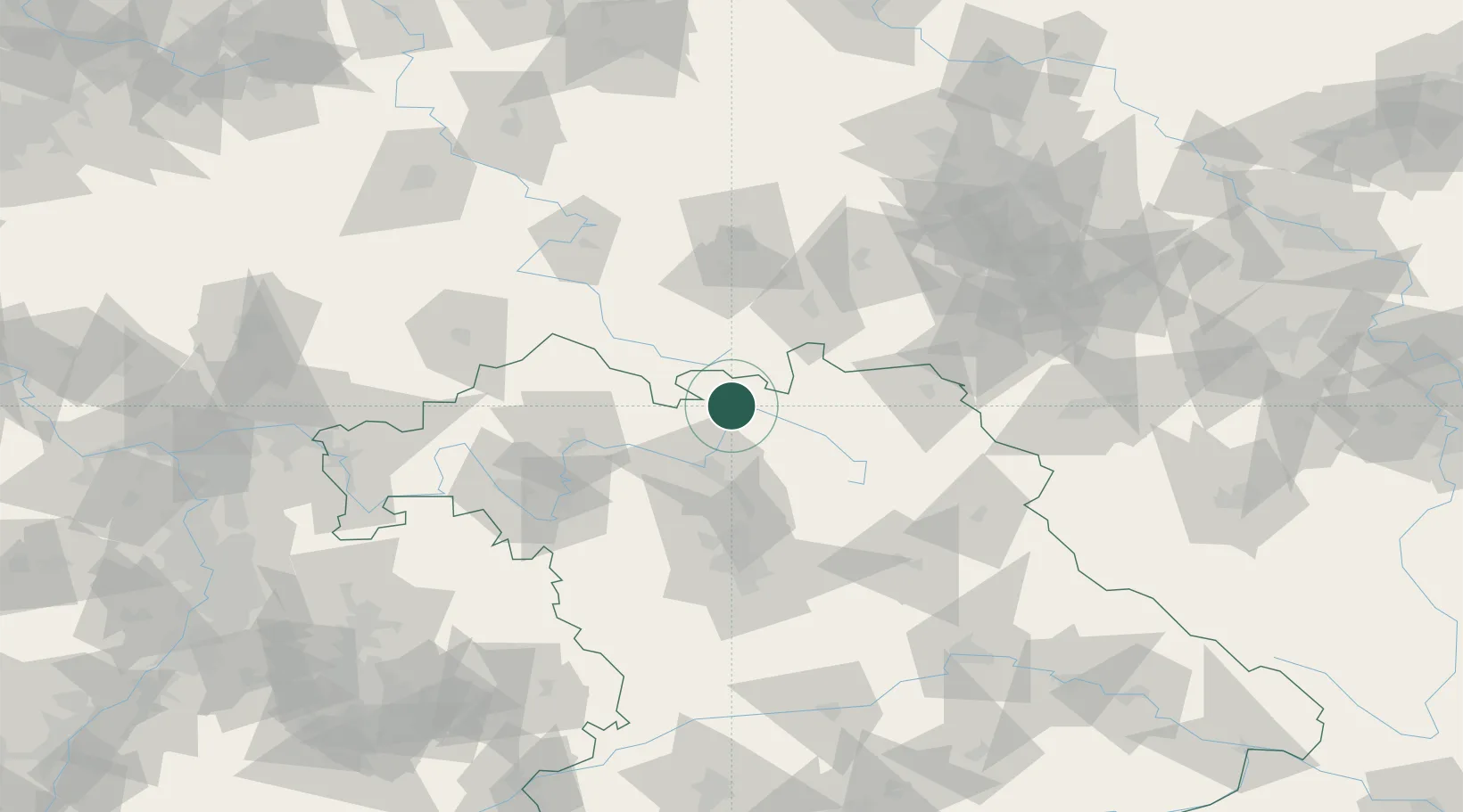
Nearby Logistics Neighbours

Cities
  1. 1Meschenbach2 km
  2. 2Dörfles-Esbach6 km
  3. 3Grossheirath7 km
  4. 4Kösten8 km
  5. 5Sesslach10 km
Nearest neighbours — logibook spatial index (haversine) over the source coordinates
Ports
  1. 1Bremen359 km
  2. 2Oldenburg375 km
  3. 3Elsfleth378 km
  4. 4Hamburg378 km
  5. 5Brake387 km
Nearest neighbours — logibook spatial index (haversine) over the source coordinates
Airports
  1. 1Bamberg-Breitenau Airfield33 km
  2. 2Bayreuth Airport54 km
  3. 3Hof-Plauen Airport62 km
  4. 4Nuremberg Airport80 km
  5. 5Erfurt-Weimar Airport85 km
Nearest neighbours — logibook spatial index (haversine) over the source coordinates
Trade Zones
  1. 1Podbořany Industrial Zone172 km
  2. 2Žatec - Triangle Strategic Industrial Zone182 km
  3. 3Most - Joseph Industrial Zone191 km
  4. 4Freeport of Deggendorf206 km
  5. 5ZFU Neuhof298 km
Nearest neighbours — logibook spatial index (haversine) over the source coordinates
DatabookThe Record of Consolidated Knowledge
Germany beyond logistics?
Browse databook

All Sources

LocationsUN/LOCODE
UN/LOCODE — free
Portsthe NGA World Port Index
Public domain (US gov)
AirportsOurAirports
Public domain
Trade Zonesthe World Bank SEZ database
CC BY 4.0
Trade ZonesOpen Zone Map
CC BY
← Germany locations