Transport Functions
Multimodal
Hub Profile
Place type
Local administrative seat
Region
Rheinland-Pfalz
Population
2,070
Time zone
Europe/Berlin
Elevation
216 m
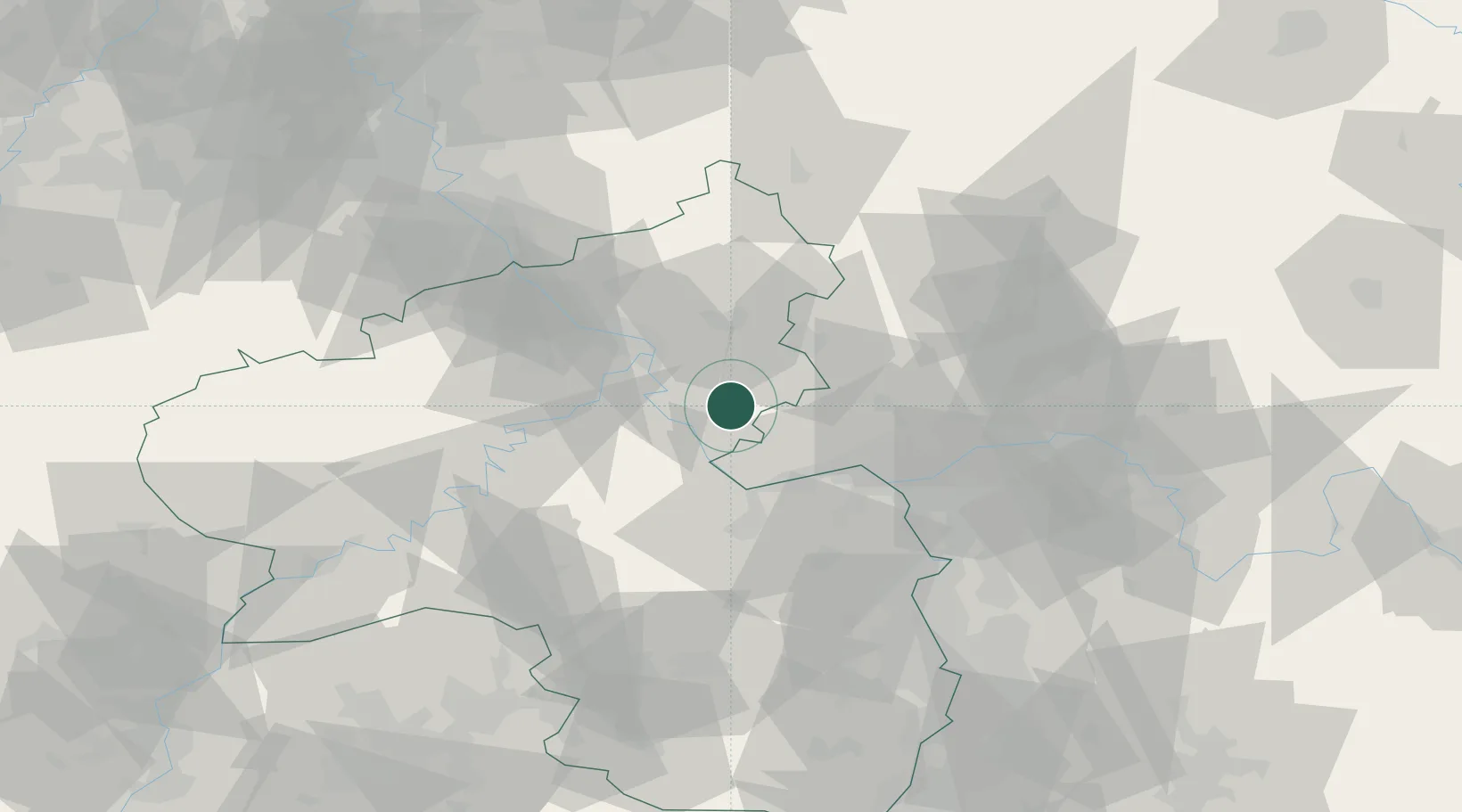
Location
Nearby Logistics Neighbours
Cities
- 1Lautert6 km
- 2Attenhausen10 km
- 3Sankt Goarshausen10 km
- 4Weisel11 km
- 5Am Hund12 km
Airports
- 1Mainz-Finthen Airfield36 km
- 2Wiesbaden Army Airfield40 km
- 3Frankfurt-Hahn Airport51 km
- 4Büchel Air Base55 km
- 5Frankfurt Main Airport56 km
Trade Zones
- 1Rheinische Revier SWZ128 km
- 2Luxembourg Free Port132 km
- 3ZFU La Cité Behren-lès-Forbach134 km
- 4Freeport of Duisburg162 km
- 5ZFU Woippy-Metz170 km
DatabookThe Record of Consolidated Knowledge
Germany beyond logistics?