Transport Functions
Multimodal
Hub Profile
Place type
Local administrative seat
Region
Rheinland-Pfalz
Population
403
Time zone
Europe/Berlin
Elevation
277 m
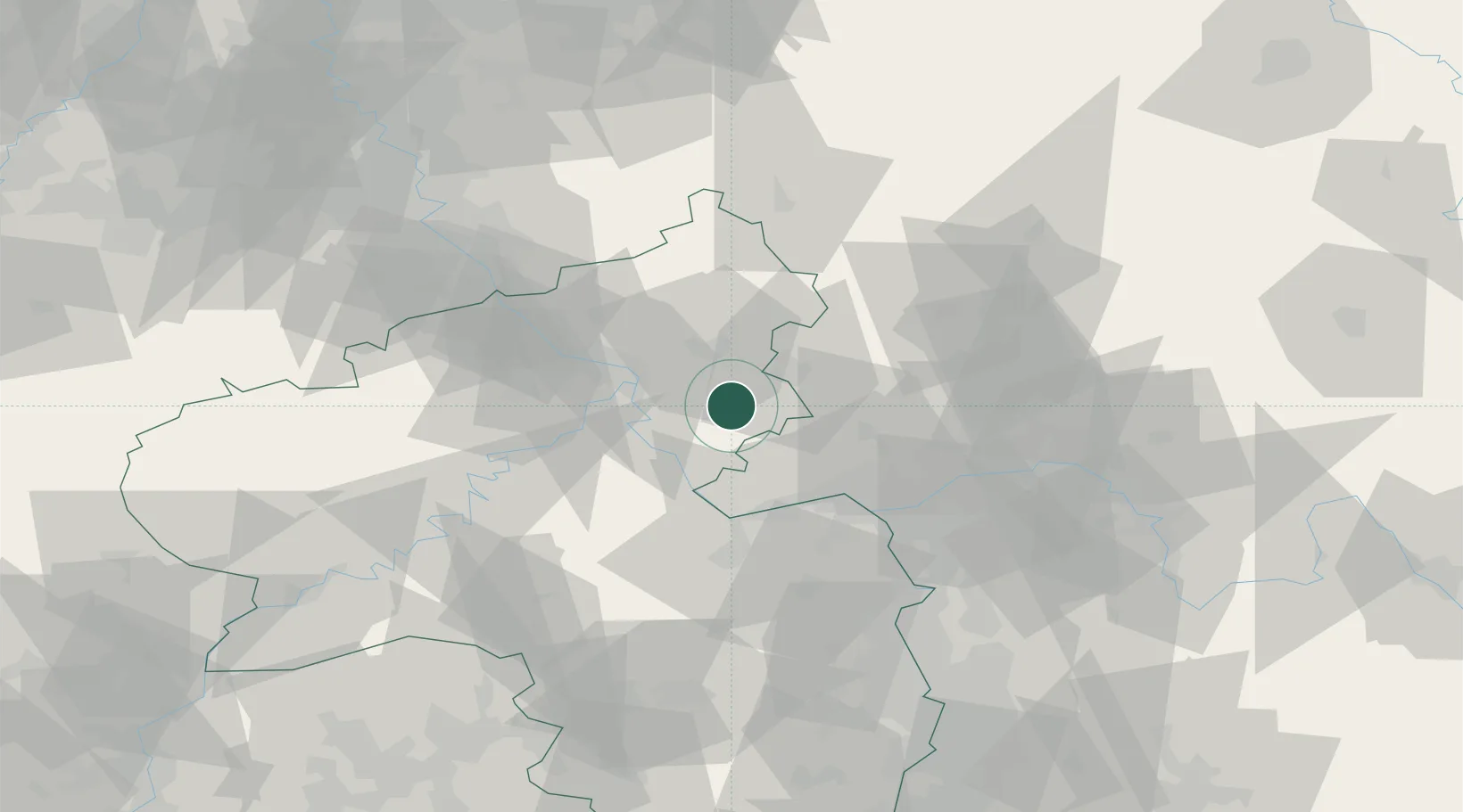
Location
Nearby Logistics Neighbours
Cities
- 1Miehlen10 km
- 2Fachingen10 km
- 3Bad Ems12 km
- 4Hahnstätten13 km
- 5Nentershausen13 km
Airports
- 1Mainz-Finthen Airfield42 km
- 2Wiesbaden Army Airfield42 km
- 3Siegerland Airport48 km
- 4Frankfurt Main Airport57 km
- 5Frankfurt-Hahn Airport59 km
Trade Zones
- 1Rheinische Revier SWZ126 km
- 2Luxembourg Free Port140 km
- 3ZFU La Cité Behren-lès-Forbach144 km
- 4Freeport of Duisburg157 km
- 5ZFU Woippy-Metz179 km
DatabookThe Record of Consolidated Knowledge
Germany beyond logistics?