UN/LOCODE hub · Germany
DESGO
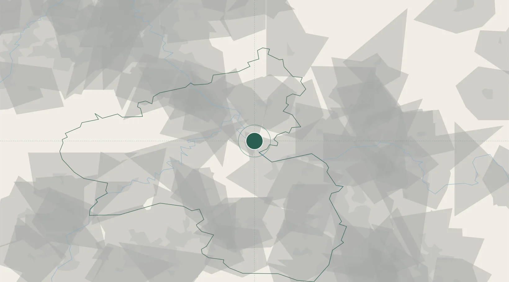
Sankt Goarshausen
50.1500°, 7.7333°
1,511
Population
2
Transport functions
Transport Functions
Rail
Road
Hub Profile
Place type
Populated place
Region
Rheinland-Pfalz
Population
1,511
Time zone
Europe/Berlin
Elevation
162 m
Location
Nearby Logistics Neighbours
Airports
- 1Mainz-Finthen Airfield36 km
- 2Frankfurt-Hahn Airport41 km
- 3Wiesbaden Army Airfield44 km
- 4Büchel Air Base48 km
- 5Frankfurt Main Airport60 km
Trade Zones
- 1Luxembourg Free Port122 km
- 2ZFU La Cité Behren-lès-Forbach124 km
- 3Rheinische Revier SWZ128 km
- 4ZFU Woippy-Metz159 km
- 5ZFU Metz162 km
DatabookThe Record of Consolidated Knowledge
Germany beyond logistics?