Transport Functions
Rail
Border Crossing
Hub Profile
Place type
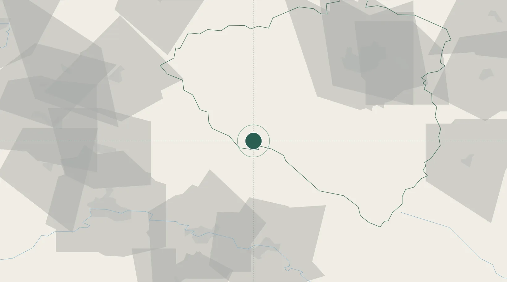
Populated place
Region
Plzeň Region
Population
596
Time zone
Europe/Prague
Elevation
552 m
Location
Nearby Logistics Neighbours
Cities
- 1Chodov6 km
- 2Waldmünchen11 km
- 3Kout na Sumave12 km
- 4Kdyne14 km
- 5Kötzting22 km
Ports
- 1Nogaro402 km
- 2Monfalcone402 km
- 3Grado409 km
- 4Trieste419 km
- 5Muggia425 km
Airports
- 1Plzeň-Líně Airport46 km
- 2Grafenwöhr Army Air Field75 km
- 3Hohenfels Army Airfield75 km
- 4Karlovy Vary Airport93 km
- 5Bayreuth Airport111 km
Trade Zones
DatabookThe Record of Consolidated Knowledge
Czechia beyond logistics?