Transport Functions
Road
Multimodal
Hub Profile
Place type
Populated place
Region
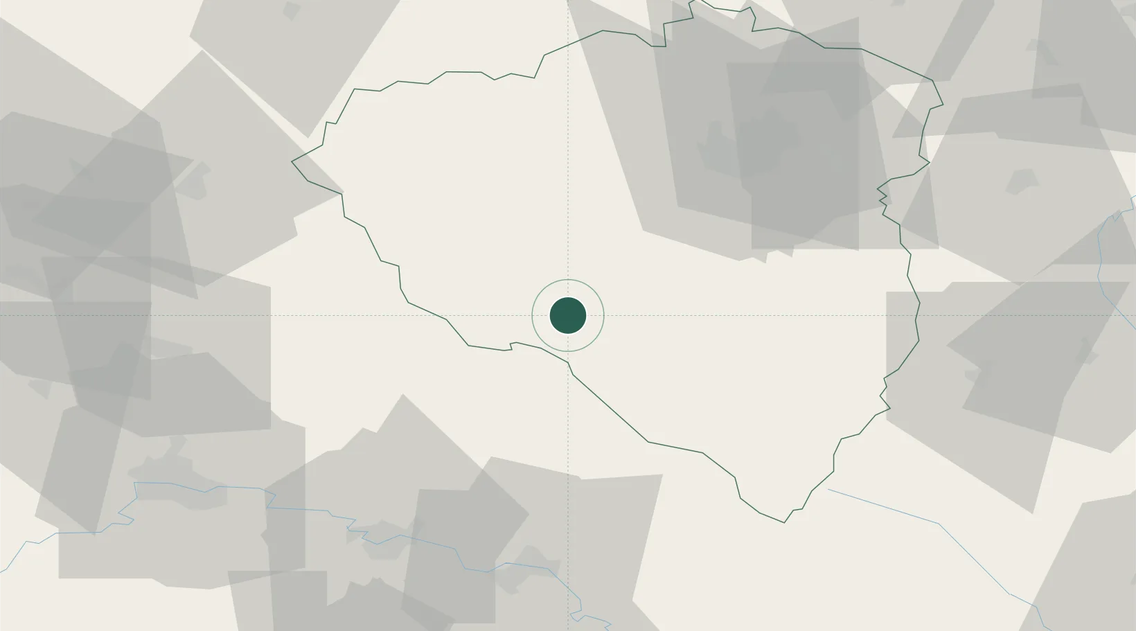
Plzeň Region
Population
1,140
Time zone
Europe/Prague
Elevation
425 m
Location
Nearby Logistics Neighbours
Cities
- 1Kdyne2 km
- 2Ceská Kubice12 km
- 3Chodov13 km
- 4Nyrsko16 km
- 5Stankov17 km
Ports
- 1Monfalcone404 km
- 2Nogaro405 km
- 3Grado412 km
- 4Trieste421 km
- 5Muggia426 km
Airports
Trade Zones
DatabookThe Record of Consolidated Knowledge
Czechia beyond logistics?