Transport Functions
Multimodal
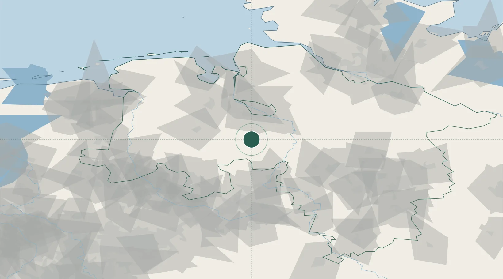
Hub Profile
Place type
Local administrative seat
Region
Lower Saxony
Population
1,686
Time zone
Europe/Berlin
Elevation
44 m
Location
Nearby Logistics Neighbours
Cities
- 1Sulingen10 km
- 2Bassum11 km
- 3Barnstorf14 km
- 4Goldenstedt18 km
- 5Harpstedt18 km
Airports
- 1Diepholz Air Base30 km
- 2Bremen Airport34 km
- 3Bückeburg Air Base59 km
- 4Wunstorf Air Base59 km
- 5Hannover Airport74 km
Trade Zones
DatabookThe Record of Consolidated Knowledge
Germany beyond logistics?