Transport Functions
Rail
Road
Hub Profile
Place type
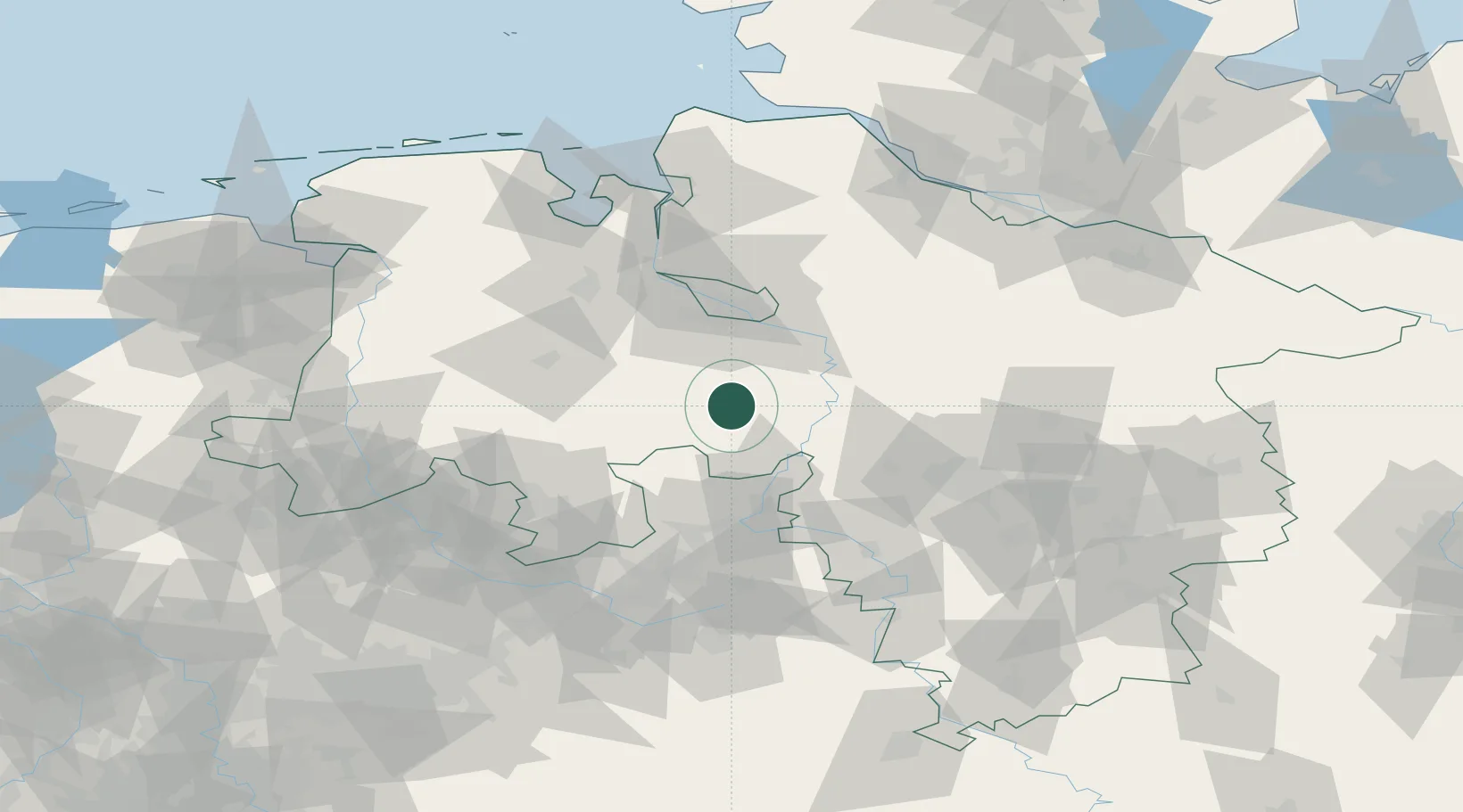
Populated place
Region
Lower Saxony
Population
12,835
Time zone
Europe/Berlin
Elevation
55 m
Location
Nearby Logistics Neighbours
Cities
- 1Kirchdorf (bei Sulingen)10 km
- 2Ehrenburg10 km
- 3Bassum19 km
- 4Steyerberg20 km
- 5Barnstorf21 km
Airports
- 1Diepholz Air Base33 km
- 2Bremen Airport40 km
- 3Bückeburg Air Base49 km
- 4Wunstorf Air Base49 km
- 5Hannover Airport65 km
Trade Zones
DatabookThe Record of Consolidated Knowledge
Germany beyond logistics?