Transport Functions
Rail
Road
Hub Profile
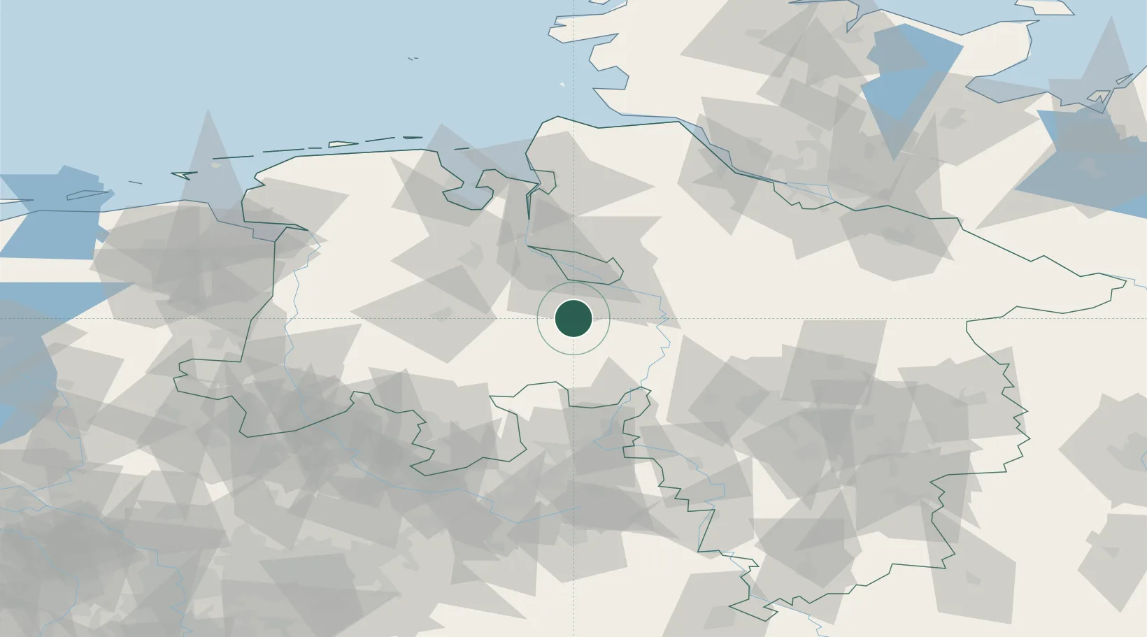
Place type
Populated place
Region
Lower Saxony
Population
16,191
Time zone
Europe/Berlin
Elevation
43 m
Location
Nearby Logistics Neighbours
Cities
- 1Dünsen10 km
- 2Ehrenburg11 km
- 3Harpstedt12 km
- 4Gross Ippener15 km
- 5Bruchhausen-Vilsen17 km
Airports
- 1Bremen Airport22 km
- 2Diepholz Air Base40 km
- 3Wunstorf Air Base64 km
- 4Bückeburg Air Base68 km
- 5Hannover Airport77 km
Trade Zones
DatabookThe Record of Consolidated Knowledge
Germany beyond logistics?