Transport Functions
Multimodal
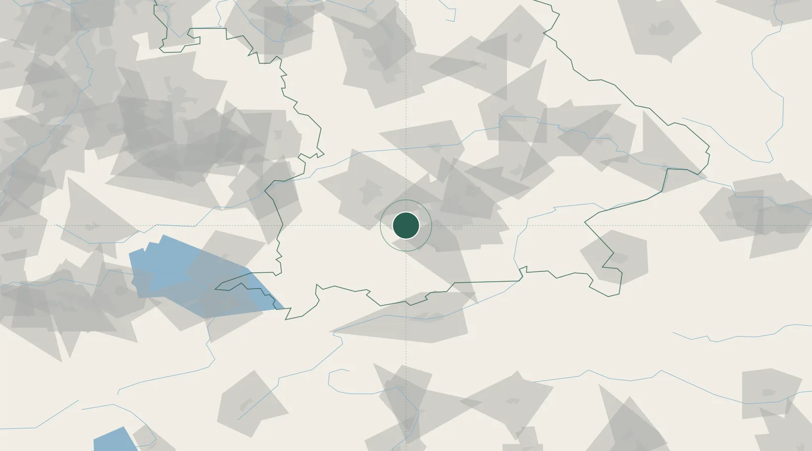
Hub Profile
Region
BY
Location
Nearby Logistics Neighbours
Cities
- 1Inning am Ammersee4 km
- 2Grafrath5 km
- 3Schöngeising6 km
- 4Seefeld6 km
- 5Greifenberg9 km
Ports
- 1Nogaro299 km
- 2Grado310 km
- 3Porto Di Lido-Venezia311 km
- 4Monfalcone312 km
- 5Porto Di Chioggia328 km
Airports
- 1Oberpfaffenhofen Airport6 km
- 2Altstetten Ultralight Field26 km
- 3Lechfeld Air Base28 km
- 4Augsburg Airport43 km
- 5Munich Airport53 km
Trade Zones
- 1Freeport of Deggendorf152 km
- 2Livigno Free Trade Zone191 km
- 3ZFU Neuhof259 km
- 4ZFU Hautepierre265 km
- 5Podbořany Industrial Zone287 km
DatabookThe Record of Consolidated Knowledge
Germany beyond logistics?